What is recorded here
Mortons and hammers clashed inside the red chamber while shadow hands pulled levers behind the glass. Each successful strike added a mark to the central column, filling the room with warm gold light. When the column turned bright, the back wall opened onto a white road that stretched into the horizon. They had built the chamber to find the road, but the road had already been waiting for them.
Located on the W-facing slope of a drumlin. This is a grass-covered D-shaped platform (dims 34m E-W; 30m N-S; H 0.25m) defined by a curving band of rushes (Wth 2m) N-E-SW, while field banks, now removed, truncated the monument at S, W and N. It has been planted in coniferous trees since 1991 but much of it might remain in a N-S fire-break (Bing 2013). Rath (LE029-025----) is c. 110m to the E.
The above description is derived from 'The Archaeological Inventory of County Leitrim' compiled by Michael J. Moore (Dublin: Stationery Office, 2003). In certain instances the entries have been revised and updated in the light of recent research.
Date of upload: 23 September 2008
The monument record does not grant public access. Check the route and ask the landowner before entering private land.
- What survives
- Recorded monument
Places near here
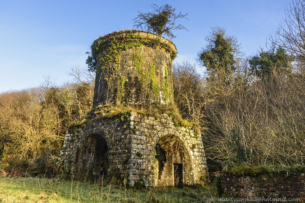 IndicatedFairy fort / earthen ringfort · 1.1 mi
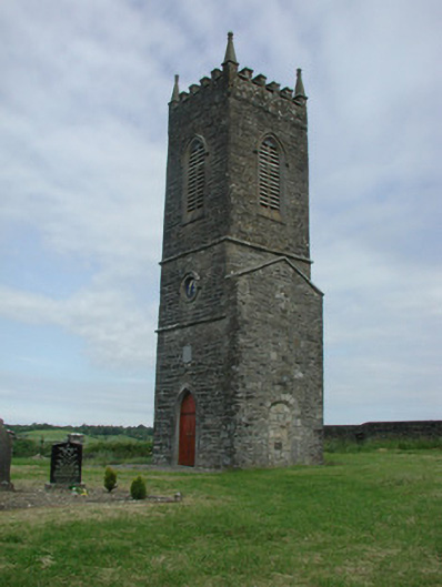 Saint James's Church (Cloone)church/chapel · 1.6 mi
 St Jamess ChChurch · 1.6 mi
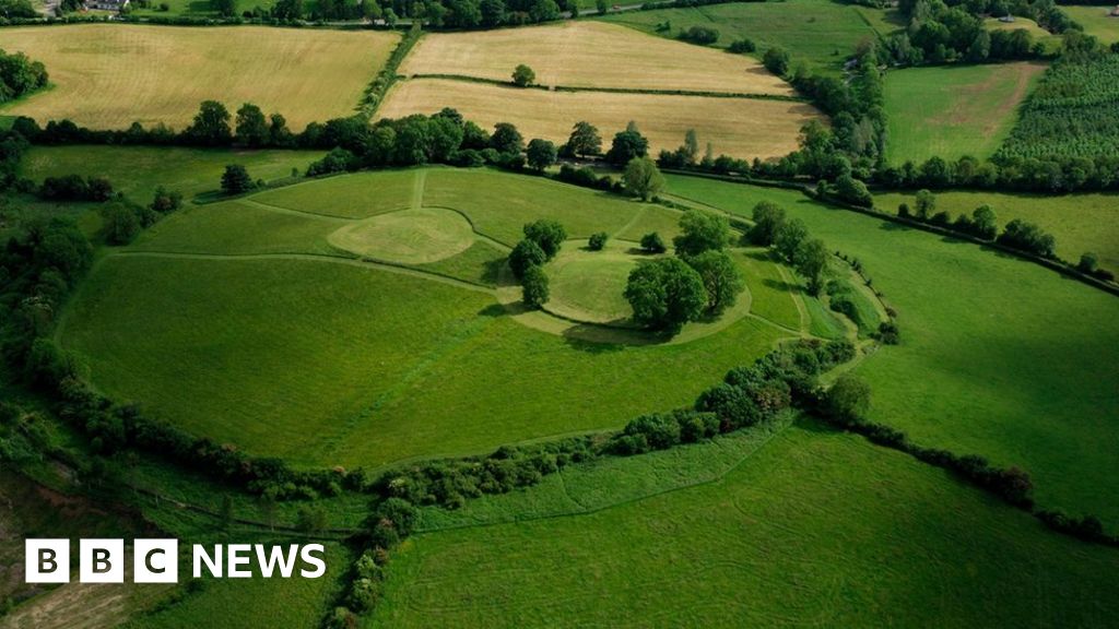 Sheean FortFairy fort / earthen ringfort · 1.6 mi
 Sessile OakSessile Oak · 2.1 mi
 Turlough O'Carolan MonumentHeritage attraction · 3.8 mi
 Giant's GraveArchaeological place · 4.0 mi
 Little IslandIslet · 4.8 mi
 Duck IslandIslet · 4.9 mi
 Lawson's CypressLawson's Cypress · 5.2 mi
 CastleCastle, tower house · 5.7 mi
 North Midland Transport CollectionMuseum · 5.8 mi