What is recorded here
Mortons and others may have watched herds or raised children inside the fort, yet the fairies keep the excluded part of the account.
Situated just off the summit of a NW-SE drumlin ridge on the NE-facing slope. It is depicted as a circular embanked enclosure (ext. diam. c. 35m) on the 1834 edition of the OS 6-inch map where it is described in gothic lettering as a ‘fort’, and as an arc of hachures NW-E-SE on the 1907 edition. A steep scrub-covered scarp (max. H 3.5m) survives NW-E-SE (diam. 35m NW-SE) which melds into the slope at either extremity, but the perimeter cannot be traced elsewhere.
The above description is derived from the published 'Archaeological Inventory of County Monaghan' (Dublin: Stationery Office, 1986). In certain instances the entries have been revised and updated in the light of recent research.
Date of revision: 6 December 2017
The monument record does not grant public access. Check the route and ask the landowner before entering private land.
- What survives
- Recorded monument
Places near here
 IndicatedFairy fort / earthen ringfort · 866 yd
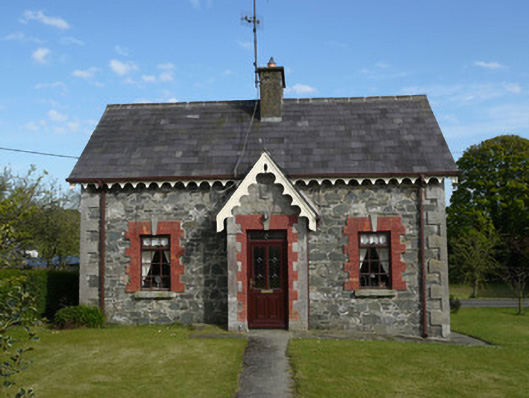 worker's houseworker's house · 1203 yd
 Saint Patrick's Catholic Churchchurch/chapel · 1218 yd
 KnockreaghMountain / peak · 1630 yd
 Embanked enclosureFairy fort / earthen ringfort · 1.1 mi
 TobernagalliaghSpring · 2.6 mi
 Fincarn HillMountain / peak · 2.6 mi
 Mannan Castle (in ruins)Castle, Anglo-Norman masonry castle · 2.9 mi
 Whites IslandIslet · 3.3 mi
 Gully IslandIslet · 4.0 mi
 The Black Castle Chambered GraveArchaeological place · 4.5 mi
 Battle of Newry Roadbattle · 4.6 mi