What is recorded here
Fairy fort in Edengilrevy, County Monaghan: a D-shaped grass and scrub-covered ringfort, 35.8m E-W and 25m N-S, with a 3m entrance gap at SE. People may have lived there, loved there, argued there, raised children there, then left the shape behind. The measurement does not answer that part.
Located at the bottom of a NE-facing slope, in a WNW-ESE valley. This is a D-shaped grass and scrub-covered area (dims 35.8m E-W; 25m N-S) that slopes down to the E (H c. 3.5m). It is defined by a fosse (Wth of top 5.4m; Wth of base 2.4m; int. D 0.9m; ext. D 0.5m) SW-NW and a low bank (at S: Wth 3.9m; int. H 0.65m; ext. H 1.4m) or scarp (at E: H 0.6m) elsewhere. There is an entrance gap (Wth 3m) at SE and the monument is truncated by a WNW-ESE road bank at N.
The above description is derived from the published 'Archaeological Inventory of County Monaghan' (Dublin: Stationery Office, 1986). In certain instances the entries have been revised and updated in the light of recent research.
Date of revision: 6 December 2017
The monument record does not grant public access. Check the route and ask the landowner before entering private land.
- What survives
- Recorded monument
Places near here
 IndicatedFairy fort / earthen ringfort · 455 yd
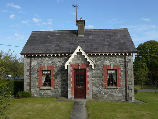 worker's houseworker's house · 871 yd
 Saint Patrick's Catholic Churchchurch/chapel · 903 yd
 KnockreaghMountain / peak · 1346 yd
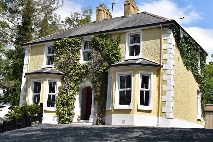 Embanked enclosureFairy fort / earthen ringfort · 1611 yd
 Fincarn HillMountain / peak · 2.5 mi
 TobernagalliaghSpring · 2.7 mi
 Whites IslandIslet · 3.1 mi
 Mannan Castle (in ruins)Castle, Anglo-Norman masonry castle · 3.1 mi
 Gully IslandIslet · 3.9 mi
 The Black Castle Chambered GraveArchaeological place · 4.4 mi
 Battle of Newry Roadbattle · 4.5 mi