What is recorded here
Edenaferkin on a Monaghan drumlin: a lost oval fort, thirty-five metres across, named in gothic letters on an 1834 map. Time and ploughing have taken it almost entirely; only a low scarp hidden in a field bank remains. What looked like a fairy fort may have been an ordinary home, its walls forgotten until survey lines crossed the grass.
Located on the broad summit of a drumlin. An oval enclosure (dims c. 35m NE-SW; c. 25m NW-SE) is depicted faintly on the 1834 edition of the OS 6-inch map where it is described in gothic lettering as a ‘fort’, and it is depicted as an arc of hachures NE-S-SW on the 1907 edition. Traces of the perimeter survive in a scarp (Wth 3m; H c. 1.2m) incorporated in a field bank and hedge E-SW (Chord c. 30m), but there is no other surface evidence of the monument.
The above description is derived from the published 'Archaeological Inventory of County Monaghan' (Dublin: Stationery Office, 1986). In certain instances the entries have been revised and updated in the light of recent research.
Revised by: Michael Moore
Date of revision: 18 June 2018
The monument record does not grant public access. Check the route and ask the landowner before entering private land.
- What survives
- Recorded monument
Places near here
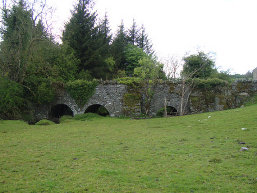 bridgebridge · 459 yd
 IndicatedFairy fort / earthen ringfort · 931 yd
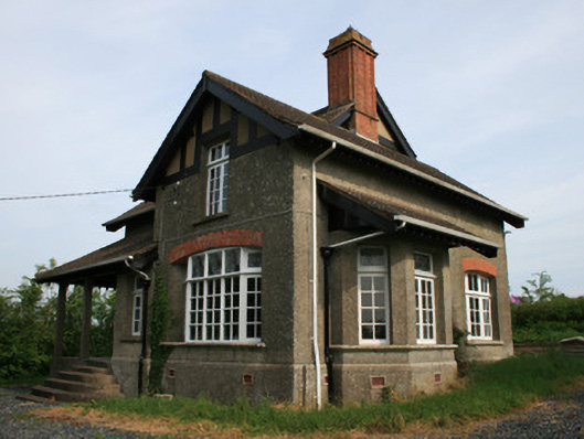 Crystalbrookhouse · 940 yd
 Ballybay Wetland CentreNature reserve · 1.6 mi
 The Rabbit BurrowWood · 1.7 mi
 Embanked enclosureFairy fort / earthen ringfort · 2.2 mi
 LisnaspeenanMountain / peak · 4.7 mi
 Fedd HillMountain / peak · 5.0 mi
 Battle of ClontibretBattlefield · 6.4 mi
 Senator Billy Fox 1939 - 1974Memorial · 7.6 mi
 Gull IslandIslet · 10.0 mi
 Irish Hunger StrikersMemorial · 17 mi