What is recorded here
Fairy fort / earthen ringfort in Dysart (moyashel & Magheradernon By.) is a fairy fort or earthen ringfort in Dysart (moyashel & Magheradernon By.), County Westmeath, Ireland. Situated on the summit of a rise in pasture, the roughly circular area is enclosed by a substantial earthen bank and an external fosse, with a 1971 description noting no clear entrance feature visible. The bank has an internal height of 0.5 to 0.75 metres and contains many disturbance gaps, while the exterior was steepened in relatively modern times, possibly during tree planting. A 1976 field report adds that the fosse has been infilled around the northern arc and soil has been deposited against the exterior of the bank.
Situated on the summit of a rise, in pasture, with extensive views to S, W and E. Ringfort (WM025-107----) lies c. 100m to NW. Monument described in 1971 as a roughly circular-shaped area enclosed by a bank and external fosse, no clear entrance feature visible. The substantial earthen bank (int. H 0.5-0.75m) has many disturbance gaps and the exterior has been steepened in relatively modern times, possibly when planting trees in the bank. There is a wide shallow fosse which may also have been recut when the bank was steepened. The interior has a slight SSE-facing slope. There are old banks, scarps and fosses in the immediate vicinity. A field report from 1976 adds that the fosse has been infilled around the northern arc and soil has been deposited against the exterior of the bank.
See attached profile of monument surveyed and drawn by the ASI.
Compiled by Alison McQueen, Vera Rahilly and Caimin O’Brien.
Date of upload: 23 September 2019
The monument record does not grant public access. Check the route and ask the landowner before entering private land.
- What survives
- Recorded monument
Places near here
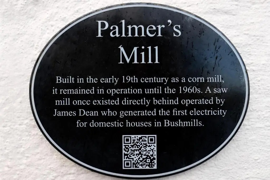 Corn Mill & KilnWater mill, unclassified · 512 yd
 Multillys WellsHoly well · 616 yd
 Enclosure in Dysart (moyashel & Magheradernon By.)Enclosure · 634 yd
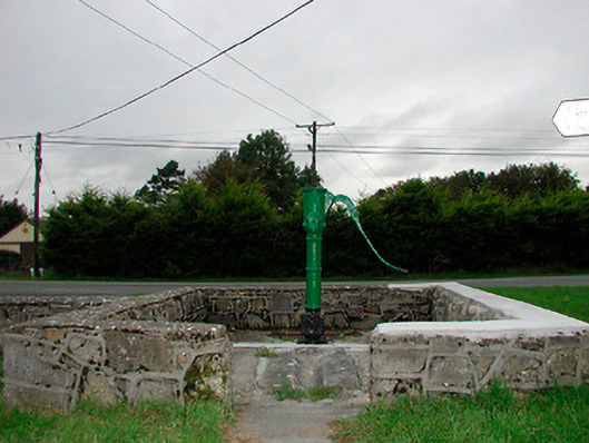 water pumpwater pump · 697 yd
 Dysart Ho. (in ruins)Castle, unclassified · 1187 yd
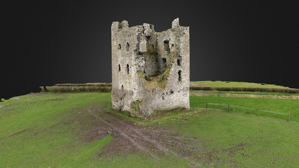 CastleCastle, ringwork · 1206 yd
 Ash IslandIslet · 1.4 mi
 Dysart IslandIsland · 1.5 mi
 Ancient Ring FortWood · 2.2 mi
 Hill of UisneachMountain / peak · 4.8 mi
 Ardan WoodWood · 7.9 mi
 Bonfire HillMountain / peak · 8.2 mi