What is recorded here
Fairy fort / earthen ringfort in Dysart (moyashel & Magheradernon By.) is a fairy fort or earthen ringfort in Dysart (moyashel & Magheradernon By.), County Westmeath, Ireland. The site sits on the summit of a high rise in pasture, offering views of undulating ground to the northeast and southwest. It consists of a large, roughly circular enclosure defined by a substantial earthen bank and an external fosse, with modern-looking gaps in the bank at the west-northwest and a modern gap with causeway at the north-northeast. The bank shows signs of being steepened on both interior and exterior faces in relatively modern times, possibly when trees were planted, while a short undisturbed section of the fosse is visible at the northeast.
Situated on the summit of a high rise, in pasture, with good views of gently undulating pasture to NE and SW. Ringforts (WM025-103----/-102----) lie c. 25m and 200m to NW, respectively. Monument described as a large roughly circular-shaped area enclosed by a bank and external fosse, with a modern-looking gap in the bank at WNW, a modern gap and causeway at NNE. No clear The original entrance feature visible. The substantial earthen bank (int. H 1.1m; ext. H 1.75m; Wth at top 0.4m; basal Wth 3.8m) appears to have been steepened on the interior and exterior in relatively modern times, possibly when planting the trees which now grow from it. A short undisturbed portion of fosse (Wth at top 3m; basal Wth 1.2m; approx. D 0.2m) is visible at NE, otherwise it has been modified to form a drain. Modern field fences encroach on the exterior of the perimeter at ENE and incorporate the bank and a modified fosse from S-W. The interior has a gentle SE-facing slope with vague traces of cultivation ridges running NW-SE.
See attached profile of monument surveyed and drawn by the ASI.
Compiled by Alison McQueen, Vera Rahilly and Caimin O’Brien.
Date of upload: 23 September 2019
The monument record does not grant public access. Check the route and ask the landowner before entering private land.
- What survives
- Recorded monument
Places near here
 Enclosure in Dysart (moyashel & Magheradernon By.)Enclosure · 225 yd
 Field system in Dysart (moyashel & Magheradernon By.)Field system · 374 yd
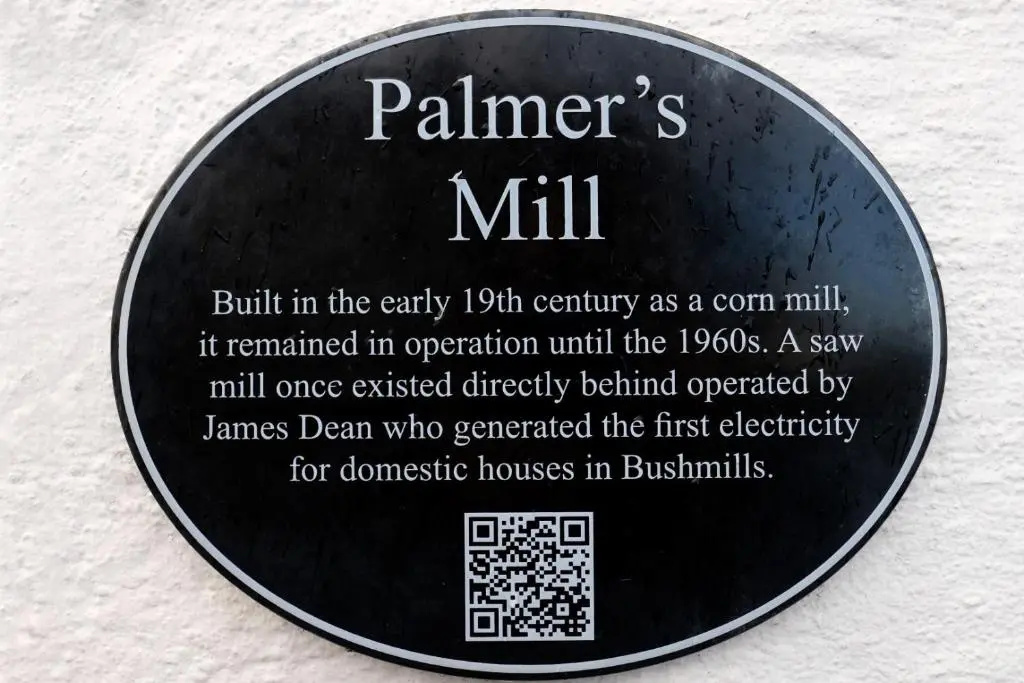 Corn Mill & KilnWater mill, unclassified · 410 yd
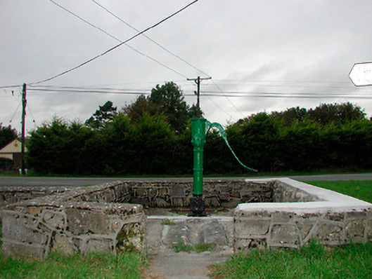 water pumpwater pump · 699 yd
 Dysart Ho. (in ruins)Castle, unclassified · 1087 yd
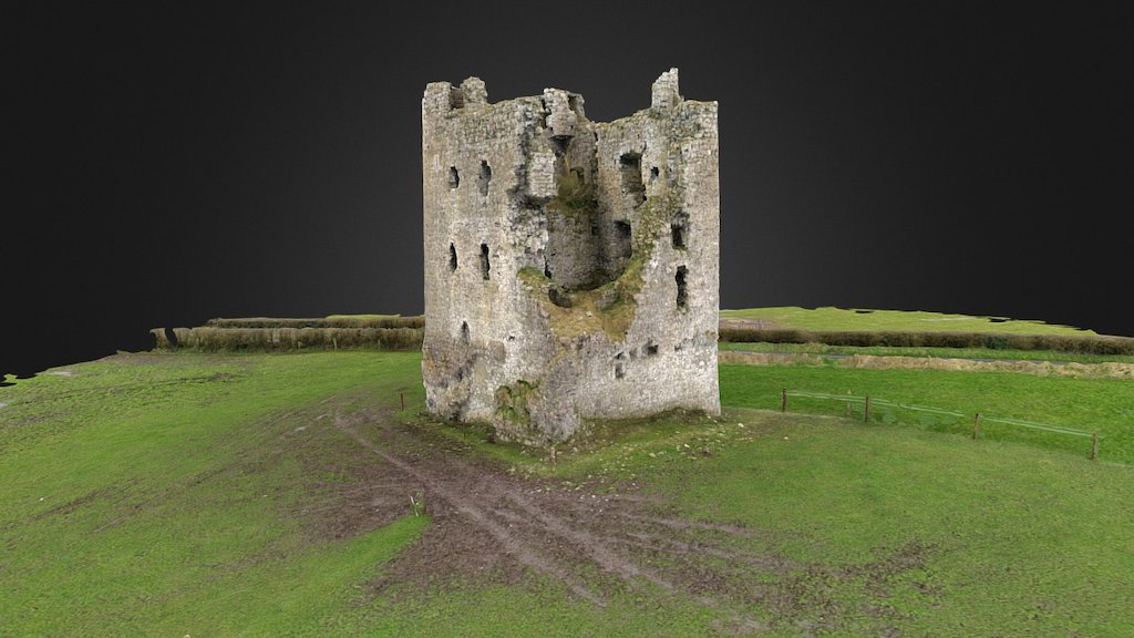 CastleCastle, ringwork · 1149 yd
 Ash IslandIslet · 1.6 mi
 Dysart IslandIsland · 1.7 mi
 Ancient Ring FortWood · 2.0 mi
 Hill of UisneachMountain / peak · 4.6 mi
 Ardan WoodWood · 8.2 mi
 Bonfire HillMountain / peak · 8.5 mi