What is recorded here
Fairy fort / earthen ringfort in Dysart (moyashel & Magheradernon By.) is a fairy fort or earthen ringfort in Dysart (moyashel & Magheradernon By.), County Westmeath, Ireland. The site occupies a low rise in gently undulating pasture and is defined by a bivallate structure consisting of an inner bank, an intervening fosse, an outer bank, and an external fosse. The earthen inner bank has an overall width of 5.2 metres, a top width of 0.7 metres, an internal height of 0.25 metres, and an external height of 0.9 metres. A possible entrance gap exists at the southeast, while a large portion of the outer bank has been removed at the southwest and the banks are barely distinguishable at the northeast and south.
Situated on a low rise, in gently undulating pasture, with good views in all directions. Ringfort (WM025-102----) lies c. 90m to SE. Bivallate ringfort described as a roughly circular-shaped area enclosed by an inner bank, an intervening fosse, an outer bank and an external fosse with possible entrance gap at SE. The earthen inner bank (overall Wth 5.2m; Wth at top 0.7m; int. H 0.25m; ext. H 0.9m) is low and rounded and the intervening fosse is shallow. The outer bank and outer fosse appear to have been modified to form a tree-ring. The inner and outer banks are barely distinguishable from one another at NE and S and a large portion of the outer bank has been removed at SW. The interior has a gentle ESE-facing slope and there are traces of cultivation ridges running NW-SE. There are no features of archaeological interest visible in the interior. There is a rectangular-shaped silage pit within the SE quadrant where the bank has also been removed, and the entrance has been widened.
See attached profile of monument surveyed and drawn by the ASI.
Compiled by Alison McQueen, Vera Rahilly and Caimin O’Brien.
Date of upload: 11 September 2019
This remains an important historical record, but the official description says the monument is no longer visible or has been destroyed. The monument record does not grant public access. Check the route and ask the landowner before entering private land.
- What survives
- No visible remains or recorded as destroyed
Places near here
 Enclosure in Dysart (moyashel & Magheradernon By.)Enclosure · 401 yd
 Field system in Dysart (moyashel & Magheradernon By.)Field system · 504 yd
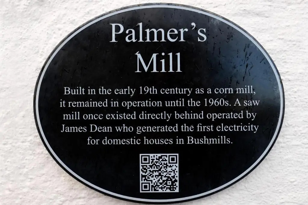 Corn Mill & KilnWater mill, unclassified · 684 yd
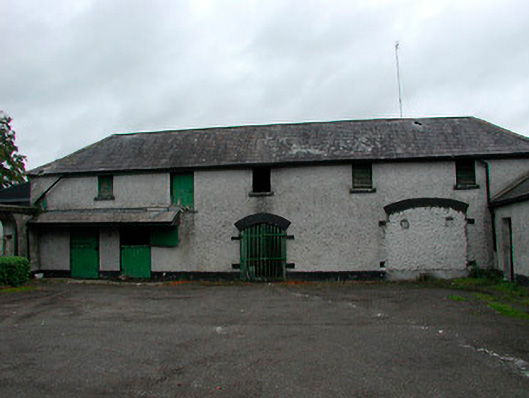 Barrettstown Houseoutbuilding · 904 yd
 Dysart Ho. (in ruins)Castle, unclassified · 1204 yd
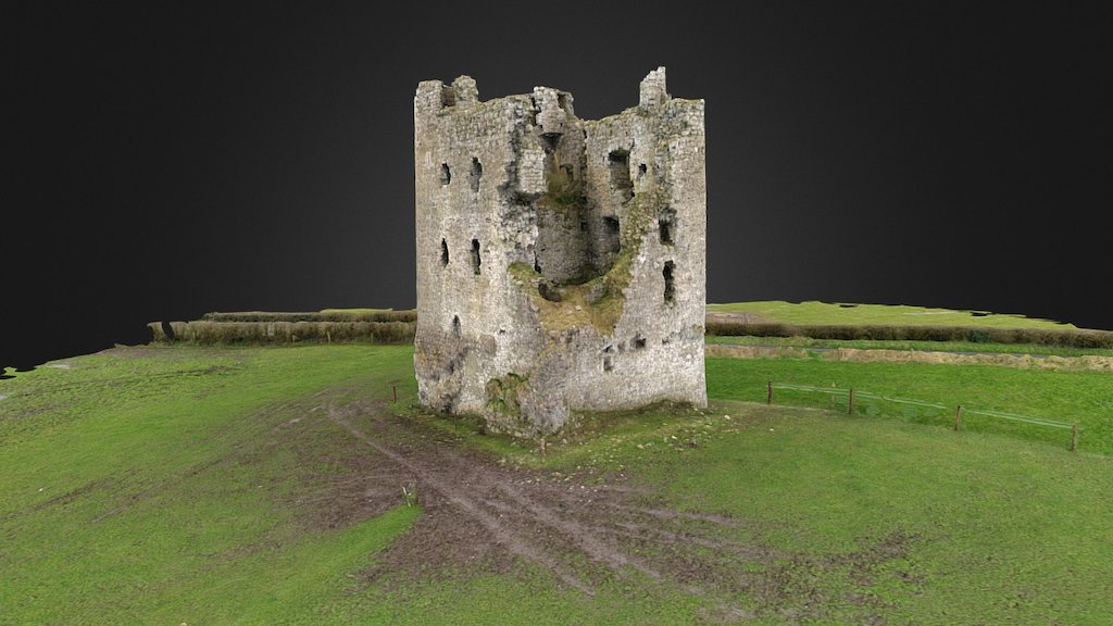 CastleCastle, ringwork · 1293 yd
 Ash IslandIslet · 1.7 mi
 Ancient Ring FortWood · 1.7 mi
 Dysart IslandIsland · 1.9 mi
 Hill of UisneachMountain / peak · 4.5 mi
 Ardan WoodWood · 8.4 mi
 Bonfire HillMountain / peak · 8.7 mi