What is recorded here
Fairy fort / earthen ringfort in Dysart (moyashel & Magheradernon By.) is a fairy fort or earthen ringfort in Dysart (moyashel & Magheradernon By.), County Westmeath, Ireland. The 1837 edition of the Ordnance Survey six-inch map depicted the site as a circular-shaped earthwork measuring 48 metres in the north-east to south-west direction and 41 metres in the north-west to south-east direction. This levelled enclosure incorporates a field boundary running from south-east through south to southwest and is no longer depicted on the revised 1913 edition of the Ordnance Survey twenty-five-inch map. A faint outline of the site remains visible on Digital Globe aerial photography.
Situated in pasture c. 55m to W of the historic shoreline of Lough Ennel and c. 500m from the present day shoreline. Depicted on the 1837 ed. OS 6-inch map as a circular-shaped earthwork (dims. 48m NE-SW; 41m NW-SE) which incorporates a field boundary from SE-S-SW. Not depicted on the revised 1913 ed. OS 25-inch map. The faintest outline of this levelled enclosure is visible today on Digital Globe aerial photography.
Compiled by Alison McQueen, Vera Rahilly and Caimin O’Brien.
Date of upload: 11 September 2019
The monument record does not grant public access. Check the route and ask the landowner before entering private land.
- What survives
- Recorded monument
Places near here
 Ash IslandIslet · 951 yd
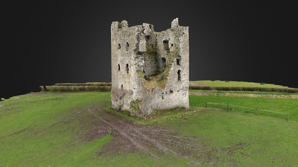 CastleCastle, ringwork · 1116 yd
 Partially indicatedEcclesiastical enclosure · 1172 yd
 Dysart Ho. (in ruins)Castle, unclassified · 1206 yd
 Church (in Ruins)Church · 1272 yd
 EnclosureEnclosure, large enclosure · 1292 yd
 Dysart IslandIsland · 1494 yd
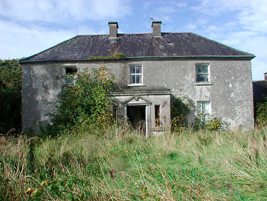 Kilcooley Housefarm house · 1.1 mi
 Ancient Ring FortWood · 6.0 mi
 Ardan WoodWood · 8.4 mi
 Bonfire HillMountain / peak · 8.8 mi
 Kilmalady HillMountain / peak · 10 mi