What is recorded here
Fairy fort / earthen ringfort in Dysart (moyashel & Magheradernon By.) is a fairy fort or earthen ringfort in Dysart (moyashel & Magheradernon By.), County Westmeath, Ireland. The 1837 Ordnance Survey 6-inch map depicted the site as a subtriangular-shaped earthwork, and the survey account described it as a subtriangular area 41 metres in extent enclosed by a low rounded bank that is almost reduced to a scarp. No visible trace of an external fosse was recorded, though a possible entrance gap was visible at north-northeast.
Situated in relatively low-lying, rough, wet pasture with good views in all directions. Depicted on the 1837 OS 6-inch map as a subtriangular-shaped earthwork. Incorporated into a deserted medieval settlement (WM025-111004-) and an ancient field system (WM025-111001-). Enclosures (WM025-114----/-113----) lie c. 87m to SE and 105m to SW, respectively. Monument described as a subtriangular-shaped area (dims. 41m N-S) enclosed by a low, rounded bank which is almost reduced to a scarp with no visible trace of an external fosse, a possible entrance gap visible at NNE. The interior has traces of cultivation ridges running E-W. Monument is visible today as an irregular-shaped earthwork on Digital Globe aerial photography.
See attached profile surveyed and drawn by the ASI.
Compiled by Alison McQueen, Vera Rahilly and Caimin O’Brien.
Date of upload: 23 September 2019
This remains an important historical record, but the official description says the monument is no longer visible or has been destroyed. The monument record does not grant public access. Check the route and ask the landowner before entering private land.
- What survives
- No visible remains or recorded as destroyed
Places near here
 EnclosureEnclosure, large enclosure · 180 yd
 Multillys WellsHoly well · 463 yd
 Church (in Ruins)Church · 492 yd
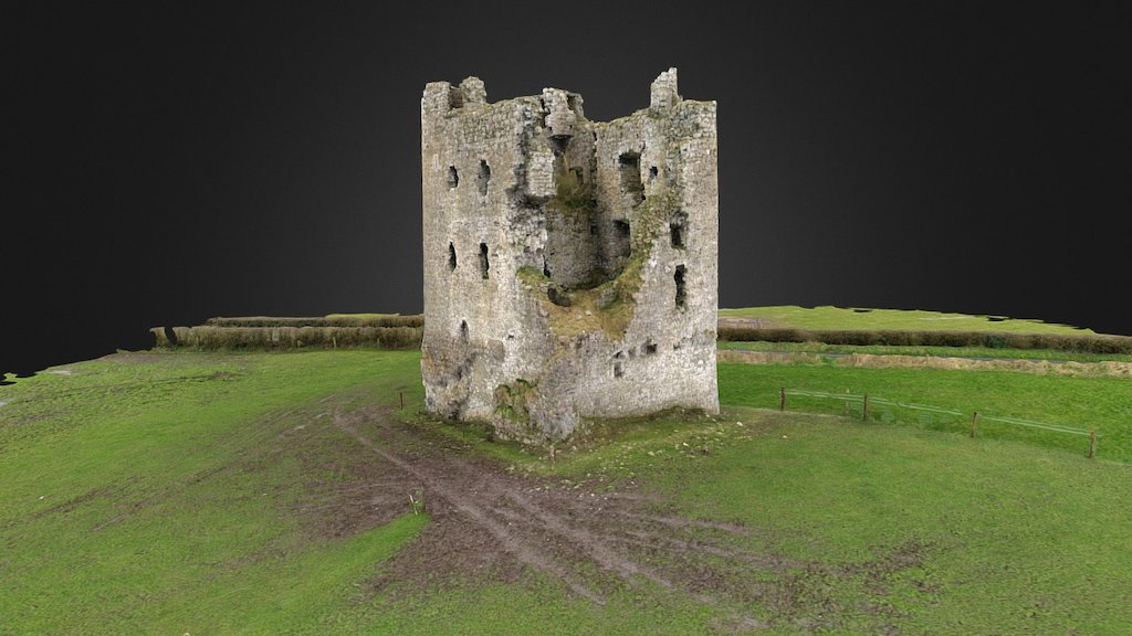 CastleCastle, ringwork · 622 yd
 Dysart Ho. (in ruins)Castle, unclassified · 684 yd
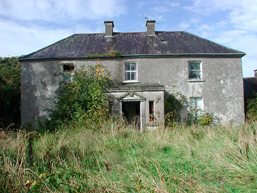 Kilcooley Housefarm house · 1263 yd
 Ash IslandIslet · 1659 yd
 Dysart IslandIsland · 1.1 mi
 Ancient Ring FortWood · 5.7 mi
 Ardan WoodWood · 8.0 mi
 Bonfire HillMountain / peak · 8.4 mi
 Kilmalady HillMountain / peak · 9.4 mi