What is recorded here
Fairy fort in Dunmoylan, County Limerick: a ringfort erased by plough, remembered only in a pale oval of clover and a parched grass band marking the vanished bank. The fort is gone, but the ground still repeats its shape, as if refusing to forget the circle it once kept.
In pasture, on low-lying level ground. Monument, depicted on 1923 OS 6-inch map as embanked circular enclosure (diam. c. 25m), has been levelled. It is now evident as oval area (35m N-S; 30m E-W) of clover enclosed by parched band of grass (Wth 5.7m) NW->WNW along line of removed bank. Break in grass band (Wth 7m) at NW may indicate position of entrance.
Compiled by: Denis Power
Date of upload: 26 August 2011
The monument record does not grant public access. Check the route and ask the landowner before entering private land.
- What survives
- Recorded monument
Places near here
 Kilmoylan Church (in ruins)Church · 706 yd
 Rathfarra - HachuredFairy fort / earthen ringfort · 1080 yd
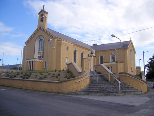 Saint Senan's Catholic Churchchurch/chapel · 1113 yd
 Slab-lined burial in MoigSlab-lined burial · 1437 yd
 Site of CastleCastle, unclassified · 1477 yd
 CastleCastle, unclassified · 1.1 mi
 Foynes Flying Boat & Maritime MuseumMuseum · 3.6 mi
 Foynes Island ViewpointViewpoint · 3.8 mi
 St. Luke's WellSpring · 3.9 mi
 Gammarel PointHeadland · 4.0 mi
 Monterey CypressMonterey Cypress · 4.2 mi
 Foynes IslandIsland · 4.4 mi