What is recorded here
Situated towards the bottom of a slight SW-facing slope. The cropmark of half a bivallate enclosure (int. diam. c. 30m; ext. diam. c. 40m) is visible on the SE side of a NE-SW field bank on aerial photographs (WX039-082_1 to _5) taken in 2006. Rath (WX039-083----) is c. 110m to the SE and rath (WX039-081----) is c. 180m to the NE.
WX039-082----_1.jpg from SE
Compiled by: Michael Moore
Date of upload: 25 January, 2013
The monument record does not grant public access. Check the route and ask the landowner before entering private land.
- What survives
- Recorded monument
Places near here
 Enclosure in DunmainEnclosure · 473 yd
 Embanked enclosureFairy fort / ringfort · 1363 yd
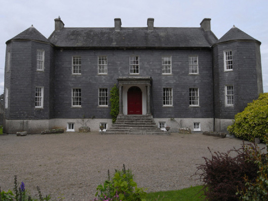 Dunmain Housefarm house · 1676 yd
 bridgebridge · 1711 yd
 Rathumney Castle (in ruins)Castle, hall-house · 1732 yd
 Castle (in ruins)Castle, unclassified · 1.3 mi
 Ash CollectionVisitor information · 1.7 mi
 Alder CollectionVisitor information · 1.8 mi
 Tinnock RockNamed rock · 2.0 mi
 The John F. Kennedy ArboretumForest · 2.0 mi
 Silver WattleSilver Wattle · 2.0 mi
 John F. Kennedy Arboretum MuseumMuseum · 2.1 mi