What is recorded here
No amount of thinking can invent the missing facts.
Situated at the NW end of a short NW-SE drumlin ridge. This is a circular grass-covered area (diam. c. 43m NNW-SSE; c. 33m ENE-WSW) defined by an earthen bank. There appears to be no visible fosse but there are several breaks in the bank. The original entrance (Wth of base 2.7m) is probably that at SSE. There are two conjoined hut-sites in the centre and a third inside the bank at N, while there is a rectangular house-site inside the perimeter at S.
The above description is derived from the published 'Archaeological Inventory of County Monaghan' (Dublin: Stationery Office, 1986). In certain instances the entries have been revised and updated in the light of recent research.
Date of revision: 6 December 2017
The monument record does not grant public access. Check the route and ask the landowner before entering private land.
- What survives
- Recorded monument
Places near here
 Saint Peter's Church (Aghnamullen)church/chapel · 1091 yd
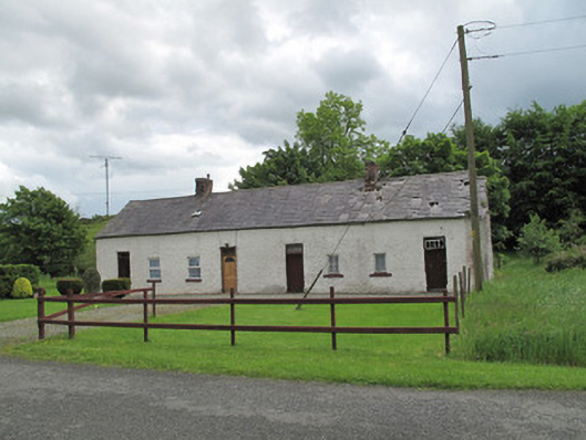 worker's houseworker's house · 1166 yd
 Man-made underground passage in Bocks UpperMan-made underground passage · 1.3 mi
 LabbyfirmoreCist · 1.4 mi
 Gully IslandIslet · 1.6 mi
 Rock IslandIslet · 1.9 mi
 TobernagalliaghSpring · 2.0 mi
 Fincarn HillMountain / peak · 2.0 mi
 Tally WoodWood · 2.9 mi
 Mannan Castle (in ruins)Castle, Anglo-Norman masonry castle · 3.4 mi
 KnockreaghMountain / peak · 3.6 mi
 Horse-chestnutHorse-chestnut · 4.6 mi