What is recorded here
No visible entrance or distinct internal features remain, although the buried outline still belongs to a human dwelling rather than a fairy tale. The earth has swallowed the doors and rooms, leaving behind a smooth anonymous ridge on the Dingle landscape. Memory has abandoned the exact shape but the place still excludes ordinary forgetfulness because it preserves the disappearance itself.
Internal diam. 21.9m N-S, 20.4m E-W
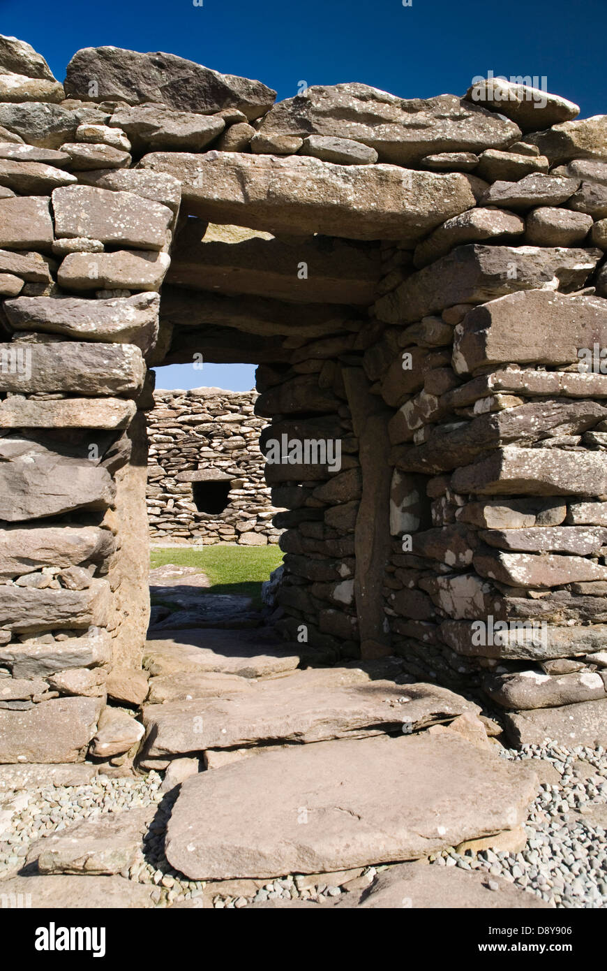
This roughly oval bivallate rath lies on the lower SE slopes of the Sea Hill ridge, overlooking Minard Head and Dingle Bay. The outer bank is 1.75m high externally, 1.25m high internally and 3.3m wide. Its inner edge is intermittently faced with rough drystone masonry, and short stretches of its outer flank are similarly stone-faced. The fosse is 5.3m wide. The inner bank rises 2.5m above the base of the fosse and 1.4m above the interior. Its inner face is also intermittently revetted with drystone masonry. The original entrance faces E. The gap through the outer bank is 5m wide but has been reduced to .5m by the insertion of drystone walling. A slight causeway then leads across the fosse to a 2m wide break through the inner bank; the W side of the latter gap is defined by a single upright stone.
Much of the interior is occupied by the confused and overgrown foundations of several structures. A D-shaped structure, 5.6m x 3m internally, abuts the bank at NW, its walls now reduced to low grass-grown stony mounds. The remaining structures extend N-S across the centre of the interior and appear to consist of 3 conjoined rectangular buildings. However, due to the overgrown and ruined condition of the walls, their precise outlines and dimensions remain uncertain.
The above description is derived from J. Cuppage, ‘Corca Dhuibhne. Dingle Peninsula archaeological survey. Ballyferriter. Oidhreacht Chorca Dhuibhne’ (1986), no. 391. In certain instances the entries have been revised and updated in the light of recent research.
Date of upload: 6 August 2013
The monument record does not grant public access. Check the route and ask the landowner before entering private land.
- What survives
- Recorded monument
Places near here
 Man-made underground passage in Dún Na ManachMan-made underground passage · 216 yd
 Promontory fortPromontory fort, coastal · 528 yd
 Cnoc an GhleannaMountain / peak · 1.2 mi
 Lispole Ambush MonumentWayside cross · 1.3 mi
 Séipéal Eoin Baiste [Catholic Church of Saint John the Baptist]church/chapel · 1.4 mi
 Country house in Arda Mór (tc Cinn Aird)Country house · 1.4 mi
 Tobar EoinSpring · 1.6 mi
 Caisleán na Mine AirdeCastle · 1.7 mi
 Minard Castle (in ruins)Castle, tower house · 1.7 mi
 CarrigavinnaunNamed rock · 1.8 mi
 Acres PointHeadland · 2.3 mi
 Cruach SceirdeMountain / peak · 3.3 mi