What is recorded here
Located on a small rise on a NE-SW ridge in a low-lying landscape. This is a circular grass and scrub-covered area (int. diam. 38m E-W; 36m N-S) defined by a slight earthen bank or scarp (Wth 1-1.6m; H 1.5m at SE to 2.1m at W and hedge with traces of an outer fosse. The entrance is at ESE. It has become overgrown since 1968 (Bing 2013).
The above description is derived from the published 'Archaeological Inventory of County Monaghan' (Dublin: Stationery Office, 1986). In certain instances the entries have been revised and updated in the light of recent research.
Date of revision: 29 August 2017
The monument record does not grant public access. Check the route and ask the landowner before entering private land.
- What survives
- Recorded monument
Places near here
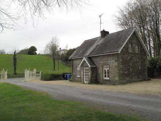 Mullaghmore Housegate lodge · 483 yd
 Not inidcatedFairy fort / earthen ringfort · 554 yd
 Western RedcedarWestern Redcedar · 694 yd
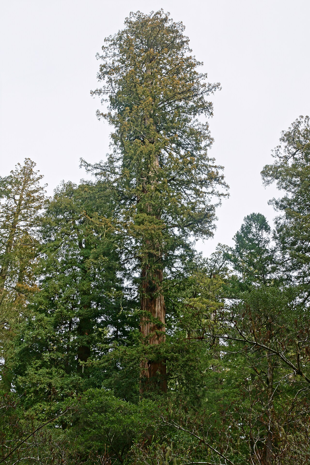 Coast RedwoodCoast Redwood · 723 yd
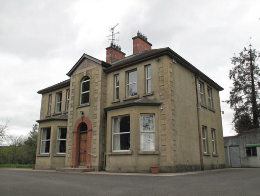 presbytery/parochial/curate's housepresbytery/parochial/curate's house · 783 yd
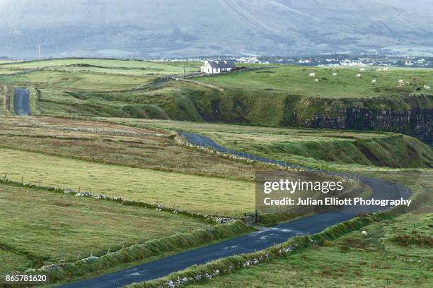 IndicatedCrannog · 896 yd
 Rough HillMountain / peak · 3.1 mi
 Sliabh Beagh Hotel and Tourism CentreVisitor information · 3.2 mi
 Monaghan County MuseumMuseum · 4.4 mi
 EshmoreMountain / peak · 4.5 mi
 Banba GiantHeritage attraction · 4.5 mi
 Rossmore MonumentMemorial · 4.5 mi