What is recorded here
Thirty metres of forgotten earth circle a rise above the Monaghan flats, visible only through memory and map ink rather than modern sight. Bessmount House watches from a quarter mile south, suggesting the fort served a resident human hand instead of drifting into fairy speculation. The land may have worn the bank flat or hidden it beneath grass, yet the shape remains clear enough to separate fact from invention.
Situated on a rise in a low-lying landscape. A circular embanked enclosure (ext. diam. c. 30m) is depicted on the 1834 edition of the OS 6-inch map where it is described in gothic lettering as a ‘fort’. No archaeological feature is visible at ground level in pasture. As the location is in full view of Bessmount House c. 300m to the S it may have been a tree-ring or adapted as one.
The above description is derived from the published 'Archaeological Inventory of County Monaghan' (Dublin: Stationery Office, 1986). In certain instances the entries have been revised and updated in the light of recent research.
Date of revision: 13 December 2017
The monument record does not grant public access. Check the route and ask the landowner before entering private land.
- What survives
- Recorded monument
Places near here
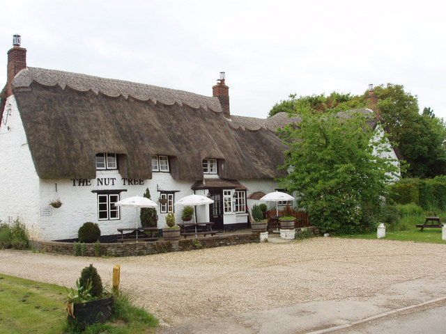 The Nut WoodForest · 302 yd
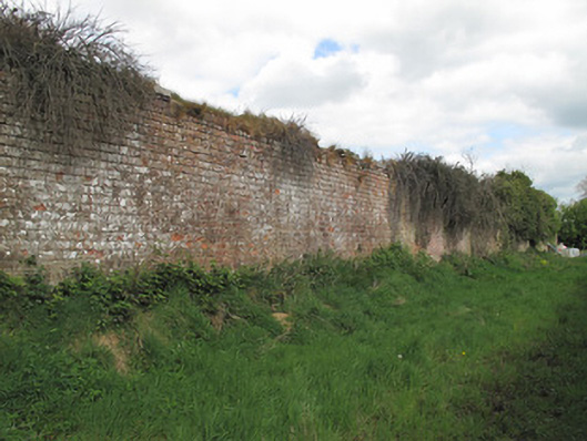 Bessmount Parkwalled garden · 423 yd
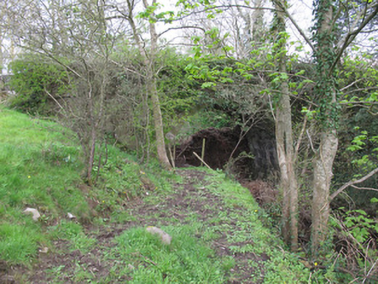 bridgebridge · 456 yd
 Liscarney WoodWood · 576 yd
 LiscarnFairy fort / earthen ringfort · 591 yd
 Confession BushRitual site, holy tree/bush · 824 yd
 Monaghan County MuseumMuseum · 1.5 mi
 Rossmore MonumentMemorial · 1.7 mi
 Bawn in Roosky (monaghan By., Monaghan Par.)Bawn · 1.7 mi
 Castleshane WaterfallWaterfall · 3.3 mi
 Banba GiantHeritage attraction · 3.3 mi
 Battle of ClontibretBattlefield · 5.6 mi