What is recorded here
Fairy fort in Drumrat, County Cavan, marked Fort on 1836 and 1876 maps, sits on the west shoulder of a ridge but no longer shows at ground level. It may have been a ringfort, a rath, where people lived, hid or kept fire during storm. If the earth has swallowed the ditch and bank, the fort has not vanished; it has stopped answering sight.
Marked 'Fort' on OS 1836 and 1876 eds. Situated on the W shoulder of a ridge of high ground. Not visible at ground level.
The above description is derived from the published 'Archaeological Inventory of County Cavan' (Dublin: Stationery Office, 1995). In certain instances the entries have been revised and updated in the light of recent research.
Date of upload/revision: 22 December 2008
A fairy fort or earthen ringfort in Drumrat, likely dating to the early medieval period, is marked as 'Fort' on Ordnance Survey maps from 1836 and 1876. Positioned on the western shoulder of a high ridge, it is associated with local folklore surrounding fairy activity, though no specific historical events are recorded.
The monument record does not grant public access. Check the route and ask the landowner before entering private land.
- What survives
- Recorded monument
Places near here
 IndicatedFairy fort / stone ringfort · 1556 yd
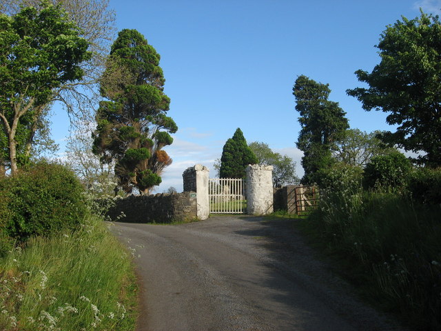 Grave YardGraveyard · 1604 yd
 Saint Mary's Catholic Churchchurch/chapel · 1.2 mi
 CornasheskMountain / peak · 1.2 mi
 EnaghMountain / peak · 1.4 mi
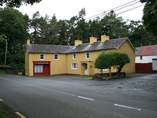 P. Morganfarm house · 1.4 mi
 RahardrumCastle, unclassified · 1.7 mi
 Sessile OakSessile Oak · 1.8 mi
 Ramor Aontaithe C.L.G. Dolan ParkMemorial · 1.8 mi
 Ballaghanea IslandIslet · 1.9 mi
 Ballaghanea Island SouthIslet · 1.9 mi
 Rahardrum Sand BankWood · 1.9 mi