What is recorded here
Fairy fort / earthen ringfort in Drumraine (tirerrill By.) is a fairy fort or earthen ringfort in Drumraine (tirerrill By.), County Sligo, Ireland. It occupies a roughly circular area on the north-facing slope of a ridge overlooking the Arrow or Unshin River. A partially levelled earthen bank and a scarp define the boundary, while the interior slopes downward toward the north. Another rath lies about twenty metres to the northeast.
On the N-facing slope of a ridge overlooking the Arrow or Unshin River to NE. A roughly circular area (19m N-S; 23m E-W) defined by a partially levelled earthen bank (Wth 6m; int. H 0.8m; ext. H 0.9m) along the S arc and by a scarp along the N arc. The interior slopes down to N. Another rath (SL034-090----) lies c. 20m to NE.
The above description is derived from the published 'Archaeological Inventory of County Sligo' compiled by Ursula Egan, Elizabeth Byrne, Mary Sleeman with Sheila Ronan and Connie Murphy (Dublin Stationery Office, 2005).
Date of upload: 18 January 2008
A fairy fort or earthen ringfort in Drumraine, likely an early-medieval agricultural or defensive site, is associated with local folklore of fairy hauntings common to such earthworks in Irish and Scottish tradition.
The monument record does not grant public access. Check the route and ask the landowner before entering private land.
- What survives
- Recorded monument
Places near here
 Flanigans FortFairy fort / earthen ringfort · 50 yd
 Rocks FortFairy fort / earthen ringfort · 401 yd
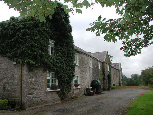 Ardagh Housefarmyard complex · 1.1 mi
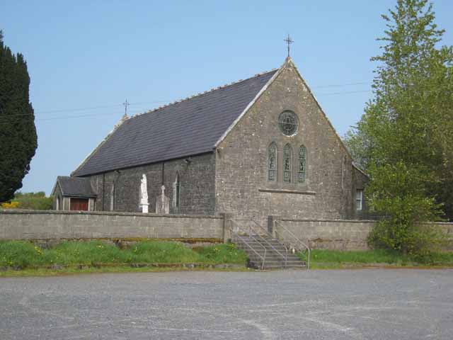 Saint Patrick's Catholic Churchchurch/chapel · 1.1 mi
 Riverstown Folk ParkHeritage attraction · 1.8 mi
 Castle BaldwinCastle · 1.9 mi
 Castle Douglas (Site of)Castle, unclassified · 2.2 mi
 Annaghgowla IslandIslet · 2.6 mi
 InishmoreIslet · 3.1 mi
 School CaveCave · 3.4 mi
 Bricklieve MountainsMountain / peak · 3.5 mi
 Treanscrabbagh caveCave · 3.6 mi