What is recorded here
Fairy fort in Drumnagrella is an oval grass ring, 37.5 metres long, bounded by an earth and stone bank on a low ridge in County Monaghan. Its true entrance likely faced southeast, though a western gap and field banks have blurred the shape since people stopped using it as a fort. The fairy name suggests it left behind more wonder than history, as if the walls had become a story before they became a ruin.
Located on a low E-W ridge in an undulating low-lying landscape. It is an oval grass-covered area (dims 37.5m NW-SE; c. 30m NE-SW) defined by an earth and stone bank (Wth of base 3.2-3.8m; int. H 0.3-0.5m; ext. H 0.8-0.9m) with some bushes, which is incorporated into a field bank W-NE. There is no visible fosse. There is a gap at WNW but the original entrance is probably that at SE (Wth of base 1.6m). It had been removed by 1984 (SMR file).
The above description is derived from the published 'Archaeological Inventory of County Monaghan' (Dublin: Stationery Office, 1986). In certain instances the entries have been revised and updated in the light of recent research.
Date of revision: 28 July 2017
The monument record does not grant public access. Check the route and ask the landowner before entering private land.
- What survives
- Recorded monument
Places near here
 Man-made underground passage in ComraghsMan-made underground passage · 688 yd
 IndicatedEnclosure · 823 yd
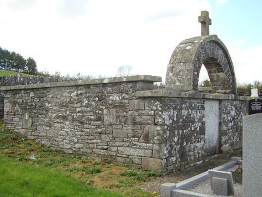 monumentmonument · 840 yd
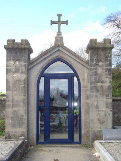 shrine/oratory/grottoshrine/oratory/grotto · 885 yd
 CastleCastle, motte and bailey · 2.3 mi
 Mount AshCastle, motte · 2.9 mi
:no_upscale()/cdn.vox-cdn.com/uploads/chorus_asset/file/25593391/County_Louth_6th.jpg) LouthMountain / peak · 3.8 mi
LouthMountain / peak · 3.8 mi Flat cemetery in AnnaheanFlat cemetery · 5.9 mi
 Ballsmill Amenity LandPicnic place · 5.9 mi
 Sky HillMountain / peak · 5.9 mi
 Photo GalleryHeritage attraction · 6.8 mi
 Dundalk CentralHeritage attraction · 6.8 mi