What is recorded here
Fairy forts are not for entry. They are for watching. That is all. The claim is not that they are beautiful or sacred or alive. It is that they refuse to be owned, used or forgotten. They are the dead line between the living world and the world that does not answer. Everything written above that is story. Everything written below it is measurement.
Marked as a subcircular feature (diam. c. 30m) on the 1835 and 1909 eds of the OS 6-inch map, and situated on a hillock on the floor of the Glenade valley, with the S-N Duff River c. 15m to the W. This is an oval grass-covered area (dims c. 40m N-S; c. 25m E-W) defined by a scarp (max. H c. 2m at W). There is no visible fosse or identifiable original entrance and the interior is overlain by a NE-SW field bank towards the perimeter at S.
The above description is derived from 'The Archaeological Inventory of County Leitrim' compiled by Michael J. Moore (Dublin: Stationery Office, 2003). In certain instances the entries have been revised and updated in the light of recent research.
Date of revision: 12 December 2011
The monument record does not grant public access. Check the route and ask the landowner before entering private land.
- What survives
- Recorded monument
Places near here
 Church in Drummans (rosclogher By., Aghanlish Ed)Church · 719 yd
 Sweat HouseSweathouse · 730 yd
 Mass-rock in ShesknanMass-rock · 1134 yd
 TievebaunMountain / peak · 1.7 mi
 Eagle's RockMountain / peak · 1.9 mi
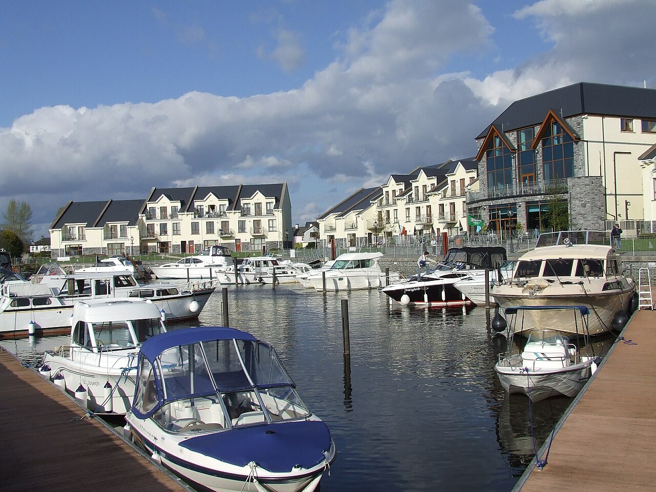 AghalateeveMountain / peak · 1.9 mi
 Cormac Reagh's HoleCave · 2.2 mi
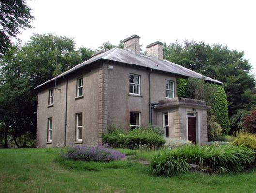 The Old Rectoryrectory/glebe/vicarage/curate's house · 3.0 mi
 Gleniff Horseshoe Drive 2Viewpoint · 3.5 mi
 Gleniff Horseshoe DriveViewpoint · 3.6 mi
 Doneen WestCliff · 3.9 mi
 Memorial Francis FinnMemorial · 3.9 mi