What is recorded here
On the drumlin summit in Drumlusty, a forgotten ringfort still holds its shape beneath grass and moss. Its double earthen banks and narrow causeway suggest people once lived there, watched the land, and left before the stones disappeared into soil. The fort has no name in local memory, but its lines remain clear enough to walk and imagine.
Situated on the summit of a drumlin. This rath is depicted on McCrea’s map of County Monaghan (1793) and later OS maps. It is a raised and overgrown oval area (dims 42m E-W; 31m N-S) defined by an overgrown earthen bank (Wth 5.6-9m; int. H 0.4-0.6m; ext. H 2.8-3.4m) separated by a rounded fosse (Wth of top 7-8m; D 0.6-1m from an outer bank (Wth of base 6-7m; ext. H 1-1.4m). The entrance through the inner (Wth of base 2.3m) and outer (Wth of base 3.4m) banks with a causeway (Wth of top c. 4m; H 0.55m) is at ESE. The outer bank functions as a field bank with an outer stone facing E-S-WNW and has a drain outside it E-S-N.
The above description is derived from the published 'Archaeological Inventory of County Monaghan' (Dublin: Stationery Office, 1986). In certain instances the entries have been revised and updated in the light of recent research.
Date of revision: 12 December 2017
The monument record does not grant public access. Check the route and ask the landowner before entering private land.
- What survives
- Recorded monument
Places near here
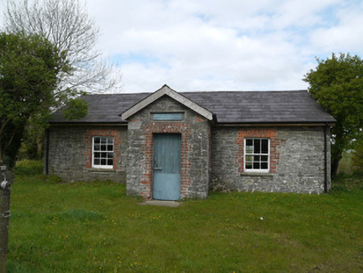 Drumlusty National Schoolschool · 540 yd
 Not indicaetdMan-made underground passage · 1239 yd
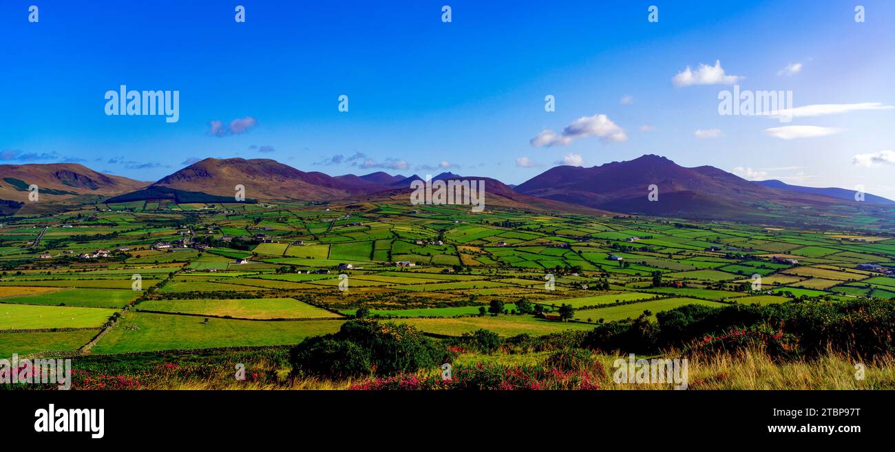 Man-made underground passage in MomonyMan-made underground passage · 1268 yd
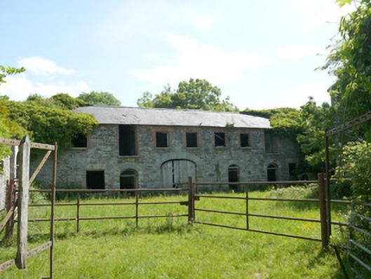 Capraghoutbuilding · 1.2 mi
 Mannan Castle (in ruins)Castle, Anglo-Norman masonry castle · 1.9 mi
 TobernagalliaghSpring · 3.3 mi
 Horse-chestnutHorse-chestnut · 3.5 mi
 European BeechEuropean Beech · 4.0 mi
 KnockreaghMountain / peak · 4.4 mi
 CastleCastle, motte and bailey · 5.2 mi
 Fincarn HillMountain / peak · 6.0 mi
 Ballsmill Amenity LandPicnic place · 7.7 mi