What is recorded here
Just off the summit of a hill, on ground sloping to the SW, in undulating pastureland. A ringfort (diam. c. 28m N-S; c. 25m E-W) heavily overgrown with scrub and brambles. The interior and edge of the monument are not accessible, except the SW quadrant. Where visible the ringfort is delimited by scarp (H 1.2m) and an outer fosse (Wth 1.8m; D 0.25m). A NE-SW field boundary runs along the NW quadrant.
Compiled by: Jean Farrelly
Date of upload: 19 November 2013
The monument record does not grant public access. Check the route and ask the landowner before entering private land.
- What survives
- Recorded monument
Places near here
 RaheenArchaeological place · 194 yd
 Enclosure in KilroeEnclosure · 710 yd
 Ballysheehan Househouse · 1743 yd
 Garrymore Bridgebridge · 1.1 mi
 Knockane Castle ruinsCastle · 1.2 mi
 IndicatedBawn · 1.6 mi
 Sweet ChestnutSweet Chestnut · 1.7 mi
 Rehill WoodForest · 1.9 mi
 Mitchelstown CaveCave · 4.2 mi
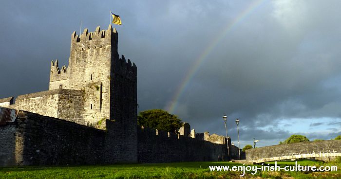 MonaminaneMountain / peak · 4.2 mi
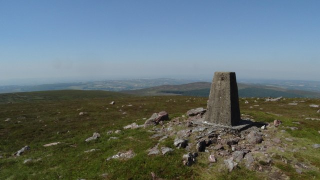 KnockshanahullionMountain / peak · 4.2 mi
 The VeeViewpoint · 4.4 mi