What is recorded here
Drumlish holds a forgotten fort where human hands shaped a natural rise into a defensible circle before ploughs and cottages erased the boundary. The earth still slopes downward toward wet pasture, preserving the shadow of a threshold where people likely watched rain arrive or danger approach. What was built has been flattened, but the land remembers the shape of being held.
In pasture, utilising a natural rise or terrace on a W-facing slope, overlooking an expanse of flat, damp pasture that extends to the W from the base of the slope. Depicted as a circular enclosure with the designation 'Fort' on the 1837 edition of the OS 6-inch map. A report in 1994 (SMR file) recorded a raised circular area (diam. c. 26m) enclosed on its E half by a low rounded bank of earth and stone and on the W half by a bank topping a scarp. Remnants of an entrance were evident at E. An inspection in 2012 found that the enclosing bank has been levelled. The rath survives as an oval raised area (c. 26m E–W; c. 15-18m N–S) defined from SE-NE by a broadly sloping scarp (H c. 1.7m at W; Wth slope c. 7m), which merges seamlessly with the natural contours of the rise. From ENE–ESE the interior of the rath is now flush with the external ground level and the dividing line between the two is marked only by a slight difference in grass growth. The W half of the interior slopes down gently to the W and there is no clearly defined break of slope with the scarp. The surface appears to have been scarped of topsoil and graded off. The N slope of the rath was truncated by the construction of a vernacular cottage and stone shed, now derelict.
Compiled by: Jane O’Shaughnessy
Date of upload: 9 January 2013
The monument record does not grant public access. Check the route and ask the landowner before entering private land.
- What survives
- Recorded monument
Places near here
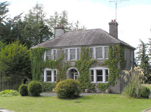 Saint Helen'shouse · 620 yd
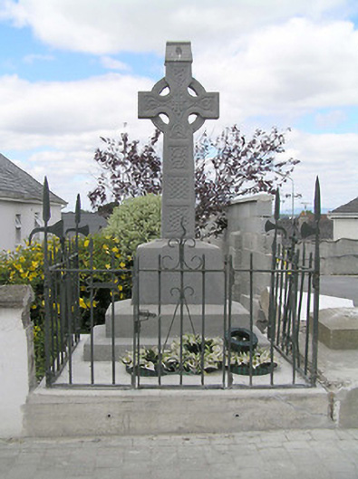 Kelleher Monumentmonument · 1128 yd
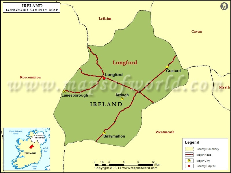 IndicatedEnclosure · 1510 yd
 CastleCastle, unclassified · 1.3 mi
 CahirFairy fort / ringfort · 1.5 mi
 Native Woodland Trust: Farnaght ReserveWood · 3.2 mi
 Common LimeCommon Lime · 4.2 mi
 Bawn in Castleforbes DemesneBawn · 4.2 mi
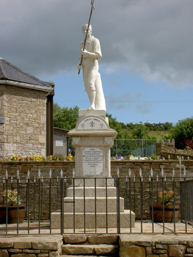 1798 Monumentmonument · 4.3 mi
 Battle of BallinamuckMajor battlefield · 4.4 mi
 Derrinch IslandIslet · 4.9 mi
 Ballinamuck Bog LoopWalking route · 5.2 mi