What is recorded here
Mortons has forgotten the fort, but the earth has not. A circular ridge still rises above the pasture, marked by a stone-faced bank and a blocked eastern entrance. People may have lived there, feared there, or simply passed it without naming it. The fort remains because it stopped being a human story and became a land story.
In pasture, on N-S ridge. Circular, raised area (23.5m N-S; 26.5m E-W) enclosed by earthen bank (H 1.2m), stone faced externally; outer fosse (D 1.2m). Partially blocked entrance (Wth c. 5m) to ESE, with causeway.
The above description is derived from the published 'Archaeological Inventory of County Cork. Volume 1: West Cork' (Dublin: Stationery Office, 1992). In certain instances the entries have been revised and updated in the light of recent research.
Date of upload/revision: 14 January 2009
The monument record does not grant public access. Check the route and ask the landowner before entering private land.
- What survives
- Recorded monument
Places near here
 Hungry Hill GalleryGallery · 134 yd
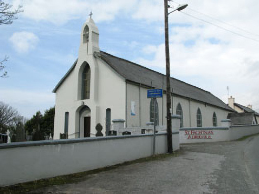 St. Fachtna's Roman Catholic Churchchurch/chapel · 400 yd
 Graveyard in DrumlaveGraveyard · 428 yd
 West Cork Sailing & Powerboating CentreHeritage attraction · 613 yd
 Boulder-burial in Cappaleigh NorthBoulder-burial · 998 yd
 Orthon's IslandIslet · 1062 yd
 Stone CircleHut site · 1261 yd
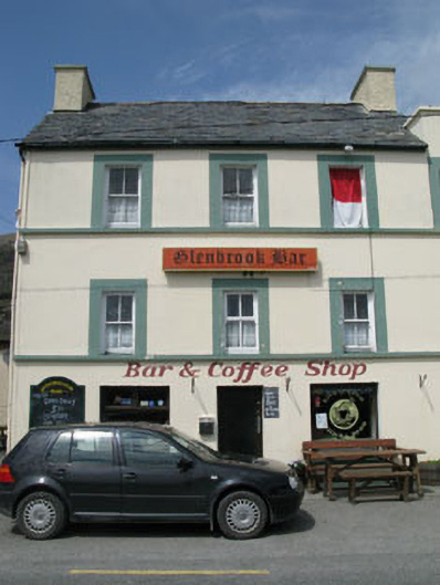 hotelhotel · 1686 yd
 Mass MountMountain / peak · 1.2 mi
 Adrigole MountainMountain / peak · 1.7 mi
 Shot HeadHeadland · 1.7 mi
 Loughure IslandIslet · 2.2 mi