What is recorded here
Half-hidden in grass and bramble at the south end of a low ridge, the Druminargid ringfort keeps its circle intact though no door remains visible. A thin earthen bank, barely twenty centimetres high, still turns the edge of a space wide enough for a small household, while a shallow ditch carries rain away from the outside. People may have lived there, argued there, or abandoned it when the land changed; the fairies, according to local naming, took the rest. What is certain is that the shape survived, holding its distance from the Ballagh stream and waiting to be remembered.
Situated at the S end of a slight NNE-SSW ridge (L of top c. 200m) in the valley of the SW-NE Ballagh stream, which is c. 130m to the NW. Overgrown circular area (int. diam. 21m N-S; 20m E-W) defined by a low, intermittently visible earthen bank (Wth 1.3m; H 0.2m) built on a slight scarp, and an external drain (Wth 1m; D 0.4m). The original entrance is not identified.
The above description is derived from 'The Archaeological Inventory of County Leitrim' compiled by Michael J. Moore (Dublin: Stationery Office, 2003). In certain instances the entries have been revised and updated in the light of recent research.
Date of upload: 23 September 2008
The monument record does not grant public access. Check the route and ask the landowner before entering private land.
- What survives
- Recorded monument
Places near here
 Church in DerrynahimmirkChurch · 648 yd
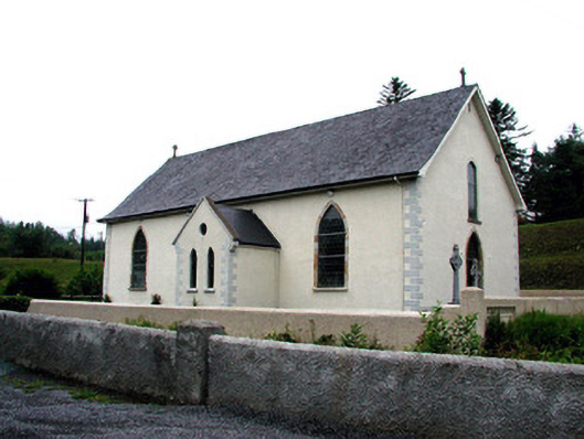 Saint Aidan's Catholic Churchchurch/chapel · 843 yd
 IndicatedFairy fort / stone ringfort · 1100 yd
 Mass-rock in DerrynahimmirkMass-rock · 1471 yd
 Fowley's FallsPicnic place · 1643 yd
 Giant's GraveArchaeological place · 1.6 mi
 Saddle HillMountain / peak · 1.7 mi
 Ross PointHeadland · 2.1 mi
 Dough MountainMountain / peak · 3.2 mi
 Kilroosk RockNamed rock · 3.3 mi
 Sally IslandIslet · 3.6 mi
 Bilberry IslandIslet · 3.6 mi