What is recorded here
Drumhurt holds a forty-three-metre earthen ring where human hands shaped the soil long before modern towers occupied its centre. The bank still rises at the northeast, but ploughs and field boundaries have swallowed the rest, leaving only a faint trace for those who know where to look. A water tower now stands inside the ancient circle, drinking rain and forcing people to wonder whether it stores life for the town or guards something forgotten beneath the grass.
Raised circular area (int. diam. 43.1m) enclosed by an earthen bank and a fosse. Bank only survives in its original form at NE. From NNE-S-SSW the perimeter has been incorporated into the field boundary. Elsewhere it has been levelled but its outline may still be traced. An earlier report (OPW 1969) noted a possible entrance feature at NE. Internal area is largely occupied by a modern water tower.
The above description is derived from the published 'Archaeological Inventory of County Cavan' (Dublin: Stationery Office, 1995). In certain instances the entries have been revised and updated in the light of recent research.
Date of upload/revision: 22 December 2008
The monument record does not grant public access. Check the route and ask the landowner before entering private land.
- What survives
- Recorded monument
Places near here
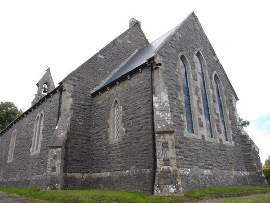 St Mark's Church of Ireland Churchchurch/chapel · 452 yd
 St Brigid's Roman Catholic Churchchurch/chapel · 633 yd
 Giants GraveArchaeological place · 1590 yd
 Cabragh RingfortArchaeological place · 1.1 mi
 Cordoagh Glebe Upper ForestForest · 1.1 mi
 Tullyvin WoodForest · 1.2 mi
 IndicatedFairy fort / earthen ringfort · 1.3 mi
 CornanurneyMountain / peak · 1.4 mi
 Site of Old CastleCastle, unclassified · 1.4 mi
 CastleCastle, unclassified · 1.9 mi
 CorickMountain / peak · 1.9 mi
 Not inidicatedChurch · 659 yd