What is recorded here
Located at the SW summit of a short NE-SW drumlin ridge. This rath is depicted as an earthwork on McCrea’s map of County Monaghan (1793) and on the 1834 and 1907 editions of the OS 6-inch map. It is a raised subcircular grass-covered area (dims c. 39m N-S; c. 33.5m E-W) defined by an overgrown earthen bank (int. H 0.2m) largely reduced to an external overgrown scarp (H c. 1.7-3m), and a shallow fosse (Wth c. 2.75m) SSW-W-NN. The fosse is replaced by a farm lane NNE-SE and is slightly curtailed by an outer field bank SSW-W but is not visible elsewhere. There is an entrance ramp (Wth of base 1.9m) with low banks (Wth c. 1m; H 0.9m) on either side that has probably been modernised at SSW.
The above description is derived from the published 'Archaeological Inventory of County Monaghan' (Dublin: Stationery Office, 1986). In certain instances the entries have been revised and updated in the light of recent research.
Revised by: Michael Moore
Date of revision: 9 May 2018
The monument record does not grant public access. Check the route and ask the landowner before entering private land.
- What survives
- Recorded monument
Places near here
 Crannog in Mullaghmore (dartree By.)Crannog · 1288 yd
 IndicatedCrannog · 1375 yd
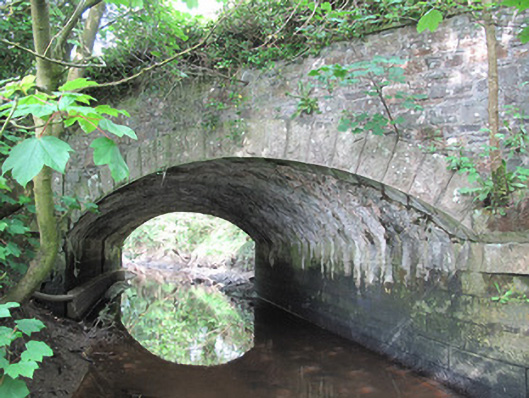 Corrachulter Bridgebridge · 1454 yd
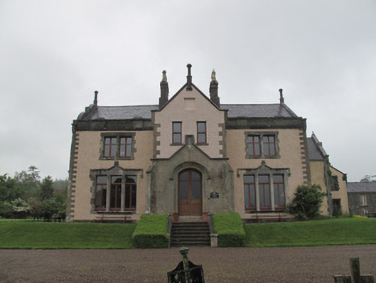 Annaghmakerig Housecountry house · 1628 yd
 Tomb HillMountain / peak · 1.1 mi
 CortoberMountain / peak · 2.0 mi
 Brown Bog WoodForest · 2.2 mi
 Rabbitburrow WoodWood · 2.2 mi
 Bawn in DrumsheilBawn · 4.1 mi
 Roosky Castle (Site of)Castle, ringwork · 4.7 mi
 Saint John's WellSpring · 4.8 mi
 Giant's GraveArchaeological place · 5.9 mi