What is recorded here
Drumharid holds a substantial earthen ringfort roughly fifty-eight metres across, marked by a wide fosse and a bank so thick it suggests two walls rather than one. The original entrance has vanished, erased by time or later hands, leaving the circle closed and secretive. A modern stone-and-earth bank now crowds part of the outer ditch, proving the site still attracts human attention and alteration. The lost boundary does not weaken the place; it withholds its full story, waiting for someone patient enough to listen behind the soil.
Raised subcircular area (int. dims. c. 58.5m N-S; c. 52m E-W) enclosed by a substantial earthen bank and a wide fosse. From SW-NNW a modern bank of earth and stone has been built at the external lip of the fosse. Original entrance not recognisable. An earlier report (OPW 1968) recorded a scarp inside the bank from N-E-S, indicating that the rath may have originally been bivallate.
The above description is derived from the published 'Archaeological Inventory of County Cavan' (Dublin: Stationery Office, 1995). In certain instances the entries have been revised and updated in the light of recent research.
Date of upload/revision: 22 December 2008
The monument record does not grant public access. Check the route and ask the landowner before entering private land.
- What survives
- Recorded monument
Places near here
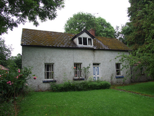 farm housefarm house · 911 yd
 Standing StoneArchaeological place · 1450 yd
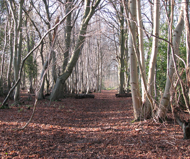 Kilnaglare Lower WoodForest · 1.0 mi
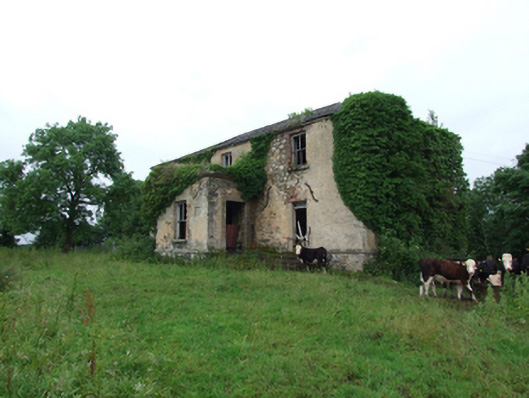 Prospect Housecountry house · 1.0 mi
 Rock WoodWood · 1.1 mi
 IndicatedFairy fort / earthen ringfort · 1.1 mi
 Annagh Lough BeachBeach / strand · 1.4 mi
 Giants GraveArchaeological place · 1.6 mi
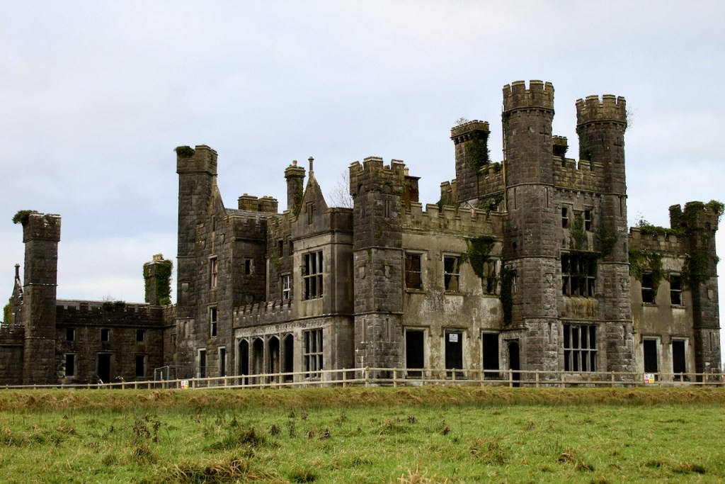 CastleCastle, unclassified · 1.7 mi
 Derrygarra UpperMountain / peak · 1.8 mi
 DrumcalpinMountain / peak · 1.9 mi
 Ballyhaise Ho.Castle, unclassified · 2.2 mi