What is recorded here
Marianne and I climbed the narrow ridge at Drumhallagh on the morning after the festival. We stood inside the broken ring where shadow still moved across the grass, and I remembered the woman who had danced there before the war. She had not belonged to either world, which is why both worlds kept her name.
Located towards the top of the SE-facing slope of a N-S drumlin ridge. This is a scrub-covered circular area (int. diam. 35m N-S) defined by an overgrown earthen bank, best preserved at N (Wth 7.2m; int. H 1.9m; ext. H 3.5m), which is separated by a flat-bottomed fosse (at N: Wth 4.1m) from an overgrown outer bank (at N: Wth 6m; int. H 2.8m; ext. H 0.35m). The original entrance is not identified.
The above description is derived from 'The Archaeological Inventory of County Leitrim' compiled by Michael J. Moore (Dublin: Stationery Office, 2003). In certain instances the entries have been revised and updated in the light of recent research.
Date of upload: 23 September 2008
The monument record does not grant public access. Check the route and ask the landowner before entering private land.
- What survives
- Recorded monument
Places near here
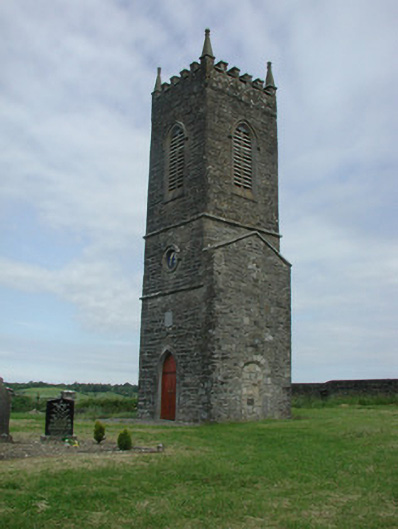 Saint James's Church (Cloone)church/chapel · 1.2 mi
 St Jamess ChChurch · 1.2 mi
 CrossCross, High cross · 1.3 mi
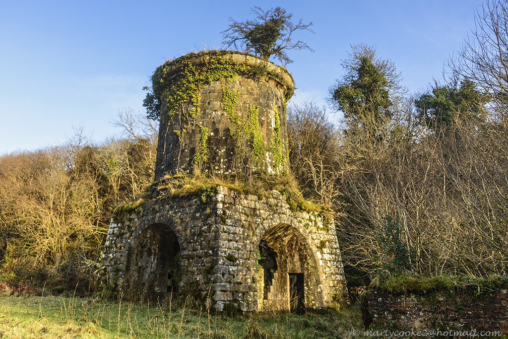 IndicatedFairy fort / earthen ringfort · 1.4 mi
 Sessile OakSessile Oak · 2.0 mi
 Turlough O'Carolan MonumentHeritage attraction · 4.1 mi
 Giant's GraveArchaeological place · 4.2 mi
 Little IslandIslet · 5.0 mi
 Duck IslandIslet · 5.0 mi
 North Midland Transport CollectionMuseum · 5.3 mi
 Lawson's CypressLawson's Cypress · 5.3 mi
 CastleCastle, tower house · 6.1 mi