What is recorded here
Drumgurra held a circular earthen fort on a monaghan rise, its grassy floor twenty-five metres across and its southern bank still standing one point seven metres high when surveyed in 1967. It has since vanished, eaten by erosion or removed by human hands, leaving no trace behind. The fairness in its name suggests people once believed the circle belonged to someone else, that the earth had shaped it for purposes older or stranger than farming. What is certain is that the ground kept a complete ring for centuries, then let go without warning.
Situated on a rise in an undulating landscape. This was described in 1967 (SMR file) as a circular grass-covered area (diam. 25m E-W; 24.3m N-S) defined by an overgrown earthen bank (at S: Wth of base 6.6m; int. H 1.7m) SE-W and by a low scarp (at N: Wth 1.6m; H 0.6m) elsewhere. There was no visible fosse or identifiable original entrance. It has been removed or has eroded away since 1995 (Bing 2013).
The above description is derived from the published 'Archaeological Inventory of County Monaghan' (Dublin: Stationery Office, 1986). In certain instances the entries have been revised and updated in the light of recent research.
Date of revision: 24 August 2017
This remains an important historical record, but the official description says the monument is no longer visible or has been destroyed. The monument record does not grant public access. Check the route and ask the landowner before entering private land.
- What survives
- No visible remains or recorded as destroyed
Places near here
 farm housefarm house · 747 yd
 Lisdrumturk fortFairy fort / earthen ringfort · 1.1 mi
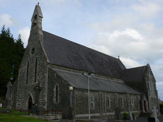 Saint Michael's Catholic Churchchurch/chapel · 1.2 mi
 Black fortFairy fort / earthen ringfort · 1.8 mi
 RaferaghMountain / peak · 2.0 mi
 NorthlandsWood · 2.9 mi
 Horse-chestnutHorse-chestnut · 3.2 mi
 Drumerlough MoreMountain / peak · 3.4 mi
 TobernagalliaghSpring · 3.7 mi
 Bawn in LisdrumskeaBawn · 3.8 mi
 Bush IslandIslet · 4.1 mi
 Gull IslandIslet · 4.3 mi