What is recorded here
Drumgreeny holds a forgotten ringfort, recorded on McCrea’s Map in 1793 but lost to the exact field because the drawing was too small and bare. The hilltop may have worn smooth under grass, rain and forgotten feet, yet the fort still belongs to the land. A person may have lived there, loved there and vanished without a name, leaving only a ridge of earth to argue against oblivion.
An earthen enclosure is indicated on a hilltop at Drumgreeny on McCrea’s Map of County Monaghan (1793). The scale of the map and the lack of field boundaries or any other distinctive landmarks does not allow for it to be plotted more accurately.
Date of revised upload: 23 February 2018
The monument record does not grant public access. Check the route and ask the landowner before entering private land.
- What survives
- Recorded monument
Places near here
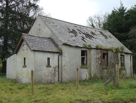 Urcher National Schoolschool · 550 yd
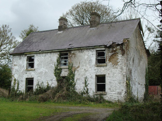 school master's houseschool master's house · 557 yd
 Grave YardBurial ground · 1686 yd
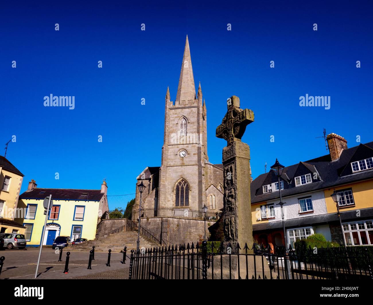 Embanked enclosureFairy fort / earthen ringfort · 1.3 mi
 Rossmore MausoleumHeritage attraction · 3.4 mi
 Giant Redwood (1862)Heritage attraction · 3.6 mi
 Ballybay Wetland CentreNature reserve · 3.7 mi
 The Rabbit BurrowWood · 3.8 mi
 LisnaspeenanMountain / peak · 5.4 mi
 Fedd HillMountain / peak · 5.8 mi
 Senator Billy Fox 1939 - 1974Memorial · 9.5 mi
 Gull IslandIslet · 12 mi