What is recorded here
Mortgages and marriage, buying and selling, rent and revenue, ledgers and law, every human transaction ever recorded or forgotten, all of it suspended. Every world where that ledger exists, every life that ever answered to it, every dream built upon it or strangled by it, all of it vanished without a sound. No death, no disaster, no warning. The chamber simply stopped recognizing the rules that had shaped it. What remained was not victory or defeat. It was the end of the game itself. The boy stood inside the quiet, unchanged, remembering a world that no longer existed.
Located on top of a NW-SE drumlin ridge towards the NW end. It is depicted as an embanked enclosure described as a ‘fort’ in gothic lettering on the 1834 edition of the OS 6-inch map. This is an oval grass and scrub-covered area (dims 51m N-S; 44m E-W) defined by a small overgrown earthen bank (at SE: Wth 1m; int. H 0.15m; ext. H 1m) with some stone facing on the exterior. There is no visible fosse, but the entrance (Wth of base 1.2m) is at SE. It may have been adapted as a tree-ring as there are some tree stumps in the interior.
The above description is derived from the published 'Archaeological Inventory of County Monaghan' (Dublin: Stationery Office, 1986). In certain instances the entries have been revised and updated in the light of recent research.
Date of revision: 28 July 2017
The monument record does not grant public access. Check the route and ask the landowner before entering private land.
- What survives
- Recorded monument
Places near here
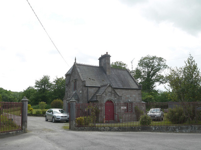 Lough Fea Housegate lodge · 361 yd
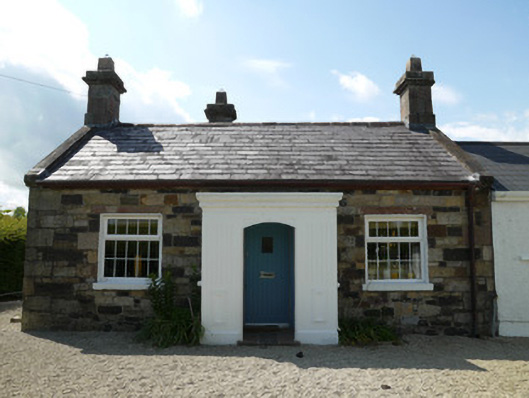 worker's houseworker's house · 586 yd
 IndicatedFairy fort / ringfort · 619 yd
 European BeechEuropean Beech · 704 yd
 Monkey-puzzleMonkey-puzzle · 1155 yd
 frotFairy fort / earthen ringfort · 1722 yd
 Drumerlough MoreMountain / peak · 3.2 mi
 Mannan Castle (in ruins)Castle, Anglo-Norman masonry castle · 3.2 mi
 TobernagalliaghSpring · 3.6 mi
 In Memory of Our DadMemorial · 4.2 mi
 Castle ruinsCastle, unclassified · 4.2 mi
 BarleyhillMountain / peak · 4.3 mi