What is recorded here
Located on top of a NW-SE drumlin ridge towards the NW end. It is depicted as an embanked enclosure described as a ‘fort’ in gothic lettering on the 1834 edition of the OS 6-inch map. This is an oval grass and scrub-covered area (dims 51m N-S; 44m E-W) defined by a small overgrown earthen bank (at SE: Wth 1m; int. H 0.15m; ext. H 1m) with some stone facing on the exterior. There is no visible fosse, but the entrance (Wth of base 1.2m) is at SE. It may have been adapted as a tree-ring as there are some tree stumps in the interior.
The above description is derived from the published 'Archaeological Inventory of County Monaghan' (Dublin: Stationery Office, 1986). In certain instances the entries have been revised and updated in the light of recent research.
Date of revision: 28 July 2017
The monument record does not grant public access. Check the route and ask the landowner before entering private land.
- What survives
- Recorded monument
Places near here
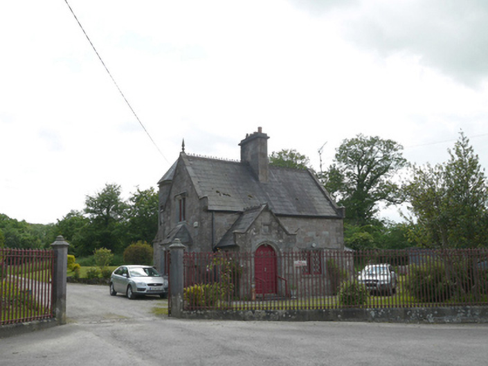 Lough Fea Housegate lodge · 361 yd
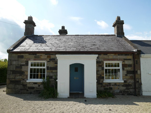 worker's houseworker's house · 586 yd
 IndicatedFairy fort / ringfort · 619 yd
 European BeechEuropean Beech · 704 yd
 Monkey-puzzleMonkey-puzzle · 1155 yd
 frotFairy fort / earthen ringfort · 1722 yd
 Drumerlough MoreMountain / peak · 3.2 mi
 Mannan Castle (in ruins)Castle, Anglo-Norman masonry castle · 3.2 mi
 TobernagalliaghSpring · 3.6 mi
 In Memory of Our DadMemorial · 4.2 mi
 Castle ruinsCastle, unclassified · 4.2 mi
 BarleyhillMountain / peak · 4.3 mi