What is recorded here
Half of a circle, thirty metres across, hidden beneath a Cavan field. A low bank and shallow ditch once enclosed it, but a tractor erased the fort in the 1940s or 1950s. The fairies kept their half-hidden house, while human hands removed the part they could see.
Not marked on any OS ed. The site apparently comprised a 'half circle' (diam. c.30m) enclosed by a low earthen bank and a shallow fosse and was levelled in the 1940s or 1950s (local information). Not visible at ground level.
The above description is derived from the published 'Archaeological Inventory of County Cavan' (Dublin: Stationery Office, 1995). In certain instances the entries have been revised and updated in the light of recent research.
Date of upload/revision: 22 December 2008
The monument record does not grant public access. Check the route and ask the landowner before entering private land.
- What survives
- Recorded monument
Places near here
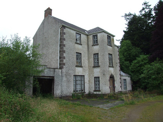 Griffith Lodgehouse · 275 yd
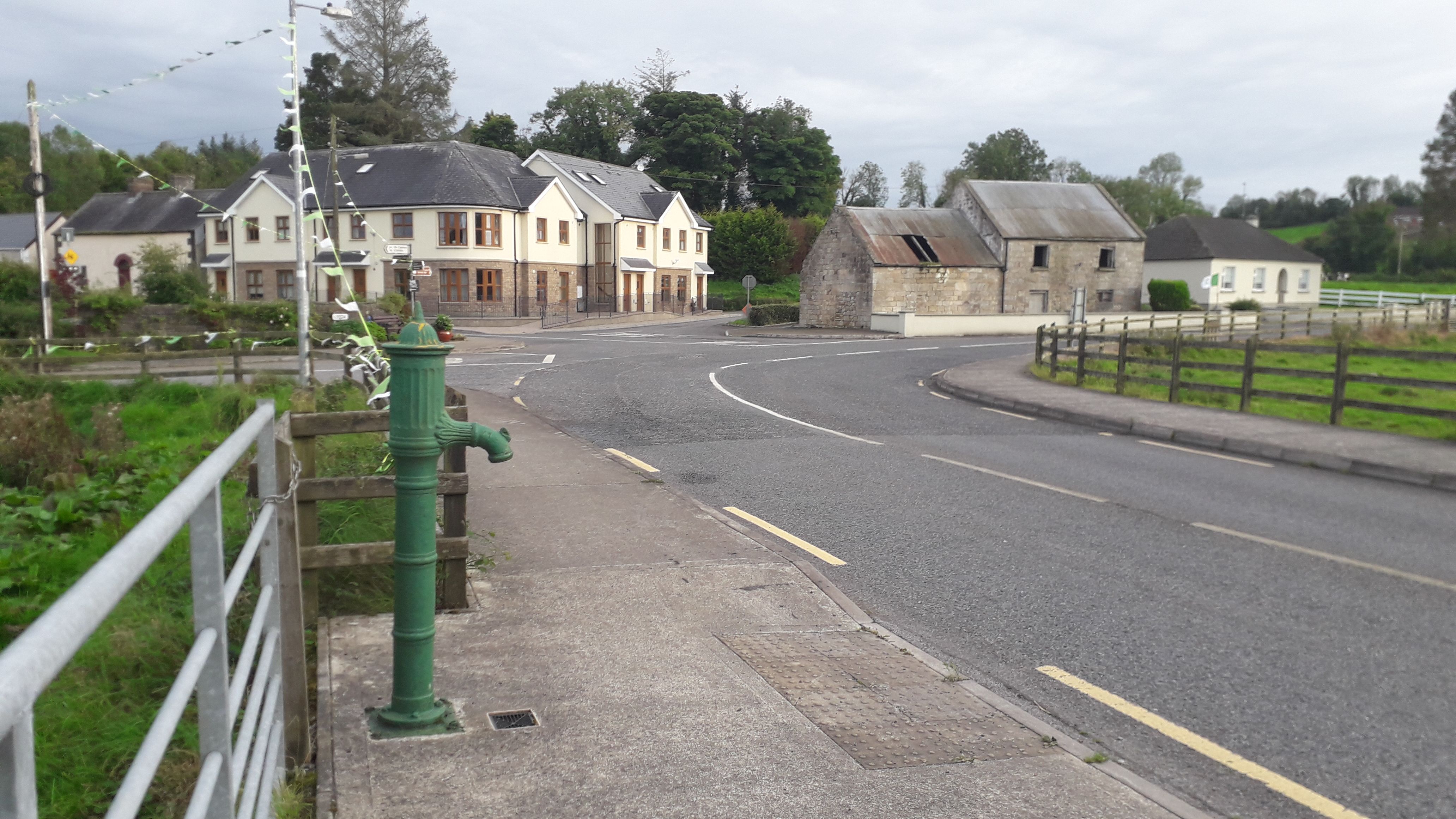 Milltown NorthWood · 1203 yd
 Saint Patrick's Catholic Churchchurch/chapel · 1322 yd
 Drumlane AbbeyHeritage attraction · 1426 yd
 Abbey in RuinsEcclesiastical residence · 1480 yd
 DerrybrickMountain / peak · 1.0 mi
 Cloncose FortFairy fort / earthen ringfort · 1.1 mi
 ArdanMountain / peak · 1.6 mi
 CastleCastle, unclassified · 1.7 mi
 Drumbagh ForestForest · 2.2 mi
 InishmuckIsland · 2.3 mi
 Turbet Island Castle Motte and BaileyArchaeological place · 3.1 mi