What is recorded here
Located on a slight rise in a low-lying undulating landscape. This is depicted as a circular embanked enclosure (ext. diam. c. 50m) only on the 1834 edition of the OS 6-inch map. It is visible as a slightly raised and grass-covered subcircular area (dims c. 38m E-W; c. 34m N-S), but it is also visible as a subcircular enclosure defined by a single fosse feature which may have an entrance at SSE on the OSI aerial images (1995).
The above description is derived from the published 'Archaeological Inventory of County Monaghan' (Dublin: Stationery Office, 1986). In certain instances the entries have been revised and updated in the light of recent research.
Date of revision: 31 July 2017
The monument record does not grant public access. Check the route and ask the landowner before entering private land.
- What survives
- Recorded monument
Places near here
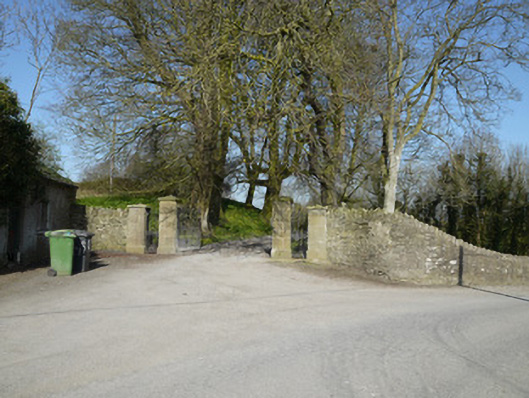 Ballymackney Housegates/railings/walls · 445 yd
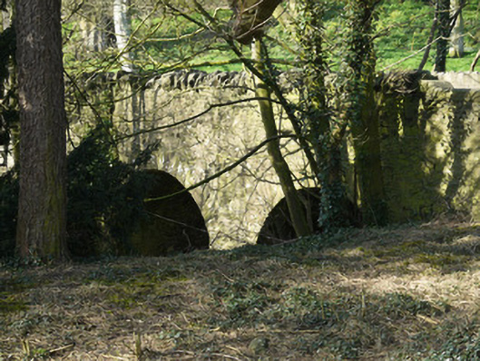 bridgebridge · 478 yd
 Promontory fortPromontory fort, inland · 1051 yd
 CastleCastle, motte and bailey · 1.0 mi
 Man-made underground passage in CorradoranMan-made underground passage · 1.2 mi
 Flat cemetery in AnnaheanFlat cemetery · 2.4 mi
 Monkey-puzzleMonkey-puzzle · 3.0 mi
 European BeechEuropean Beech · 3.0 mi
 Mannan Castle (in ruins)Castle, Anglo-Norman masonry castle · 3.9 mi
 BarleyhillMountain / peak · 5.0 mi
 TobernagalliaghSpring · 5.2 mi
 Graveyard in StickillinGraveyard · 9.6 mi