What is recorded here
No visible remains of internal structures are present. The earthworks are largely overgrown with grass and rushes. Modern field boundaries cut across the site.
Situated on the SW-facing slope of a drumlin. This is a grass and rush-covered circular area (int. diam. 41.5m N-S; 40m E-W) defined by an overgrown earthen bank (Wth of base 4-5.5m; int. H 0.2m at S (downslope) to 0.9m at N; ext. H 1.2m at S to 2.2m at W) with an external fosse which is best preserved at N (Wth of top 6.4m; Wth of base 3m; ext. D 0.5m) but evident as a field drain (at W: Wth 2m; ext. D 0.4m) W-N and as a band of lush vegetation (Wth 4.6-5.6m) elsewhere. There are modern entrances at SSW (Wth of base 2.8m), NNE (Wth of base 2.8m) and ESE (Wth of base 7.5m), and the last is probably the original entrance which has been widened.
The above description is derived from 'The Archaeological Inventory of County Leitrim' compiled by Michael J. Moore (Dublin: Stationery Office, 2003). In certain instances the entries have been revised and updated in the light of recent research.
Compiled by: Michael Moore
Date of revised upload: 10 October 2019
The monument record does not grant public access. Check the route and ask the landowner before entering private land.
- What survives
- Recorded monument
Places near here
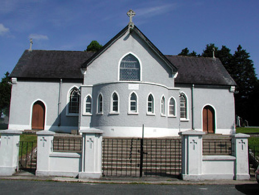 Saint Mary's Catholic Churchchurch/chapel · 742 yd
 Mass-rock (present location) in DrumeelaMass-rock (present location) · 748 yd
 DrummuckerMountain / peak · 911 yd
 Church in CorracarChurch · 1369 yd
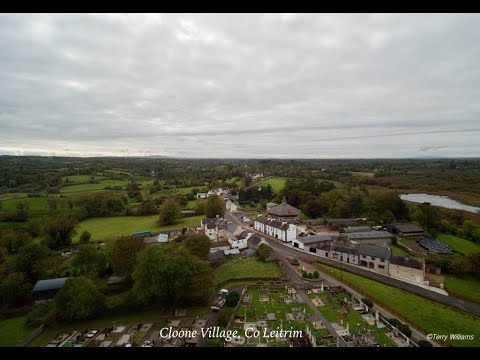 Enclosure in DrumhalryEnclosure · 1.1 mi
 Pedunculate OakPedunculate Oak · 1.3 mi
 King's GraveArchaeological place · 2.0 mi
 European BeechEuropean Beech · 2.0 mi
 Crane IslandIslet · 2.6 mi
 BatteryBawn · 2.6 mi
 DerrynigginMountain / peak · 2.7 mi
 Swan Island pet farmHeritage attraction · 2.8 mi