What is recorded here
Fairy fort / earthen ringfort in Drumcliff South is a fairy fort or earthen ringfort in Drumcliff South, County Sligo, Ireland. The raised circular area measures 25m across and is enclosed by an earthen scarp reaching 2.75m in height. A wide deep fosse extends from the southwest to the north-northwest, while fragmentary remains appear only from the north-northwest to the northeast. A two-metre ramp across the southern scarped edge marks the original entrance.
Situated on a slight rise in gently undulating pasture. Raised roughly circular area (diam. 25m) enclosed by an earthen scarp (ext. H 2.75m). At the external foot of the scarp is a wide deep fosse (Wth 8m; D 0.6m) from SW-NNW. Only fragmentary remains of the fosse are visible from NNW-NE. Elsewhere there are no remains visible at ground level. A small farmyard defined by a drystone wall, associated with an old house now used as a shed, lies across the line of the absent fosse S-SW. A ramp (Wth 2m) across the scarped edge at S marks the position of the original entrance.
Compiled by: Patrick F. O'Donovan
Date of upload: 21 April 2011
The monument record does not grant public access. Check the route and ask the landowner before entering private land.
- What survives
- Recorded monument
Places near here
 Tober PatrickHoly well · 1051 yd
 Enclosure in Tully (carbury By., Drumcliff East Ed)Enclosure · 1060 yd
 Saint Columba's Church (Drumcliff)church/chapel · 1.1 mi
 Drumcliff CemeteryGraveyard · 1.1 mi
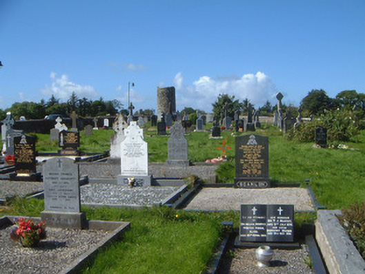 graveyard/cemeterygraveyard/cemetery · 1.1 mi
 Grave of WB YeatsHeritage attraction · 1.1 mi
 CastleCastle, unclassified · 1.8 mi
 Castle (in Ruins)Castle, unclassified · 2.0 mi
 Kings MountainMountain / peak · 2.0 mi
 European BeechEuropean Beech · 2.6 mi
 Floods WoodForest · 2.7 mi
 Benbulbin South-East TopMountain / peak · 2.8 mi