What is recorded here
Situated on the S-facing spine of a drumlin. This is a sibcircular grass-covered area (dims c. 46m N-S; c. 40m E-W) defined by a scarp (at NNW: Wth 3m; H 0.6m; at NNE: H c. 2m) NW-ENE that merges into the slope elsewhere but is surrounded at a distance of c. 5-10m by a field bank and hedge SE-W-NW. There is no visible fosse or identifiable original entrance. The interior is cut by a NNE-SSW field bank towards the perimeter at NW.
The above description is derived from the published 'Archaeological Inventory of County Monaghan' (Dublin: Stationery Office, 1986). In certain instances the entries have been revised and updated in the light of recent research.
Compiled by: Michael Moore
Date of revision: 26 February 2018
The monument record does not grant public access. Check the route and ask the landowner before entering private land.
- What survives
- Recorded monument
Places near here
 IndicatedCrannog · 459 yd
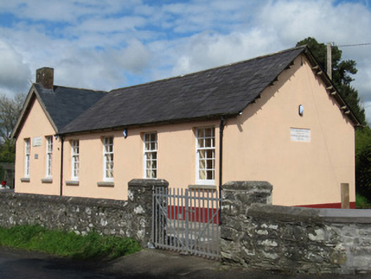 Scoil Náisiúnta Doire Ó gCuanaighschool · 1376 yd
 Crannog in Cortober (cremorne By.)Crannog · 1390 yd
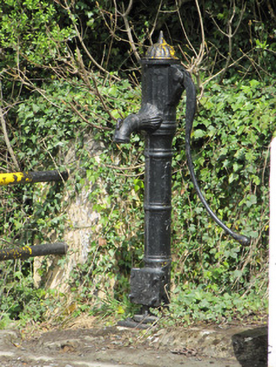 water pumpwater pump · 1406 yd
 Senator Billy Fox 1939 - 1974Memorial · 1.1 mi
 Annsfort MillsWood · 2.3 mi
 AghagashlanMountain / peak · 2.3 mi
 Giant's GraveArchaeological place · 2.7 mi
 Drumlumman Wet WoodlandWood · 2.9 mi
 CarrickcreenyMountain / peak · 3.1 mi
 Small IslandIsland · 3.3 mi
 Gull IslandIslet · 3.7 mi