What is recorded here
Mnemo knows the difference between a woman and a girl. She teaches that boundary without praise, repeating the claim until it becomes clear. She does not force you to invent meaning. She shows the facts, waits for your answer and records whether you understood. That is why her chamber feels sharp instead of lonely.
Situated on the E-facing slope of a small N-S ridge with a higher drumlin c. 150m to the E. It is depicted as a subrectangular area described as a ‘Fort’ on the 1835 edition of the OS 6-inch map and as a subrectangular hachured feature incorporating field boundaries on the 1907 edition. This is a grass-covered circular area (diam. 57m E-W; 56m N-S) defined by an earthen bank incorporated in a field bank (Wth of base 4.6m; max. H 0.8m) SW-N, and by an external scarp (max. H 0.4m) elsewhere, although it melds into the natural slope NE-SE. A band of lush vegetation (Wth 1-2m) outside the scarp may be the remains of a fosse but there is no indication of an entrance. The field bank had been removed by 2000 (OSAP).
The above description is derived from 'The Archaeological Inventory of County Leitrim' compiled by Michael J. Moore (Dublin: Stationery Office, 2003). In certain instances the entries have been revised and updated in the light of recent research.
Compiled by: Michael Moore
Date of revised upload: 14 October 2019
The monument record does not grant public access. Check the route and ask the landowner before entering private land.
- What survives
- Recorded monument
Places near here
 DrumbreanlisMountain / peak · 239 yd
 St. Patricks WellHoly well · 564 yd
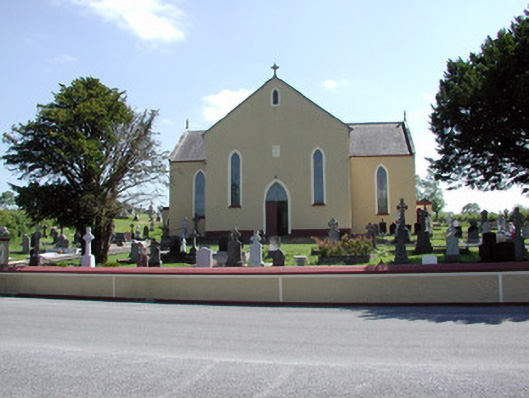 Saint Mary's Catholic Churchchurch/chapel · 1290 yd
 European YewEuropean Yew · 1314 yd
 IndicatedEnclosure, large enclosure · 1393 yd
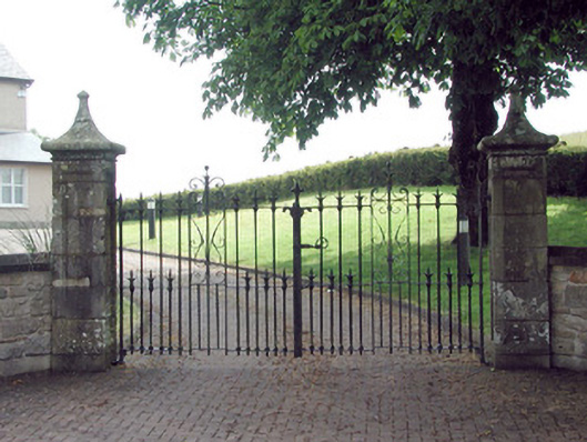 gates/railings/wallsgates/railings/walls · 1552 yd
 CornaferstMountain / peak · 1.2 mi
 King's GraveArchaeological place · 1.7 mi
 Kilnamarve ForestForest · 2.5 mi
 North Midland Transport CollectionMuseum · 4.6 mi
 Bawn in CastlepolesBawn · 4.9 mi
 Killeshandra Irish Countrywomen's Association 70th AnniversaryMemorial · 5.4 mi