What is recorded here
Clear facts are missing. An attractive fictional example is possible, but it would not answer the fact check.
Raised circular area (int. diam. 50.5m) enclosed by a substantial earthen bank and a wide, deep, waterlogged fosse. A counterscarp bank, most likely a modern feature, occurs at the outer lip of the fosse. Original entrance not recognisable.
The above description is derived from the published 'Archaeological Inventory of County Cavan' (Dublin: Stationery Office, 1995). In certain instances the entries have been revised and updated in the light of recent research.
Date of upload/revision: 22 December 2008
The monument record does not grant public access. Check the route and ask the landowner before entering private land.
- What survives
- Recorded monument
Places near here
 Holy WellHoly well · 792 yd
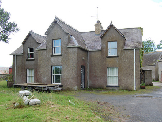 Tully Housecountry house · 921 yd
 AghnacorMountain / peak · 1618 yd
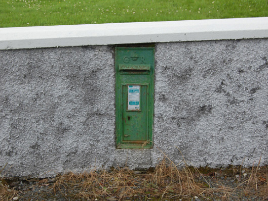 post boxpost box · 1645 yd
 Grave YardEcclesiastical enclosure · 1651 yd
 CorrMountain / peak · 1.1 mi
 Drumgoon Bog WoodForest · 1.4 mi
 Cornafean GFCMemorial · 1.9 mi
 Trinity Island WoodForest · 2.3 mi
 Inch IslandIslet · 2.5 mi
 Killykeen Forest ParkForest · 2.8 mi
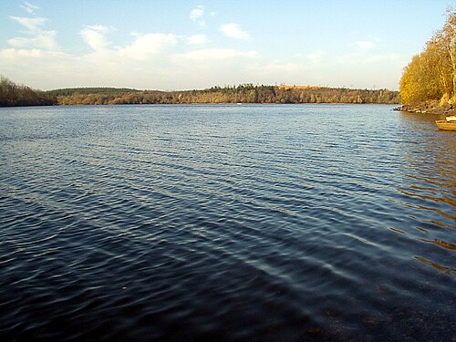 Lough OughterLake and island landscape · 2.8 mi