What is recorded here
Drumawark holds a fifteen-metre earthen ring on a high ridge above marshy pasture, marked by a shallow oval pit where a lost standing stone once rose. Local story claims that marker was a termon cross, giving the place its name and linking it to the long road toward Lough Derg. The bank is low now, barely half a metre high, but the gap in the north-east still points to the entrance, preserving the shape of a path walked into legend.
Internal diam. c. 15.5m. Rathnacross, a circular area enclosed by a stone and earthen bank c. 0.5m high. A gap in the NE sector affords the only possible site for an entrance. There is a semicircular hollow (2.5m in diam. and 0.8m deep) in the SE quadrant which may have been a modern lime kiln. Near the centre of the site is an oval pit 2m × 1.25m and 0.6m deep. This may mark the site of the 'standing stone' marked on the first edition of the OS 6-inch map. This stone no longer survives. It is situated on a high ridge commanding an area of marshy pasture land. Local tradition claims that a termon cross (DG105-002002-) stood within the site and gave it its name. This could possibly be identified with the 'standing stone' above. The site is said to have been on the route to the pilgrimage site of Lough Derg.
The above description was derived from the 'Archaeological Survey of County Donegal. A description of the field antiquities of the County from the Mesolithic Period to the 17th century.' Compiled by: Brian Lacey with Eamon Cody, Claire Cotter, Judy Cuppage, Noel Dunne, Vincent Hurley, Celie O'Rahilly, Paul Walsh and Seán Ó Nualláin (Lifford: Donegal County Council, 1983). In certain instances the entries have been revised and updated.
Date of upload: 22 September 2008
The monument record does not grant public access. Check the route and ask the landowner before entering private land.
- What survives
- Recorded monument
Places near here
 bridgebridge · 1302 yd
 Iniscilin Bridgebridge · 1451 yd
 Cross in Carn (pettigoe Ed)Cross · 1.2 mi
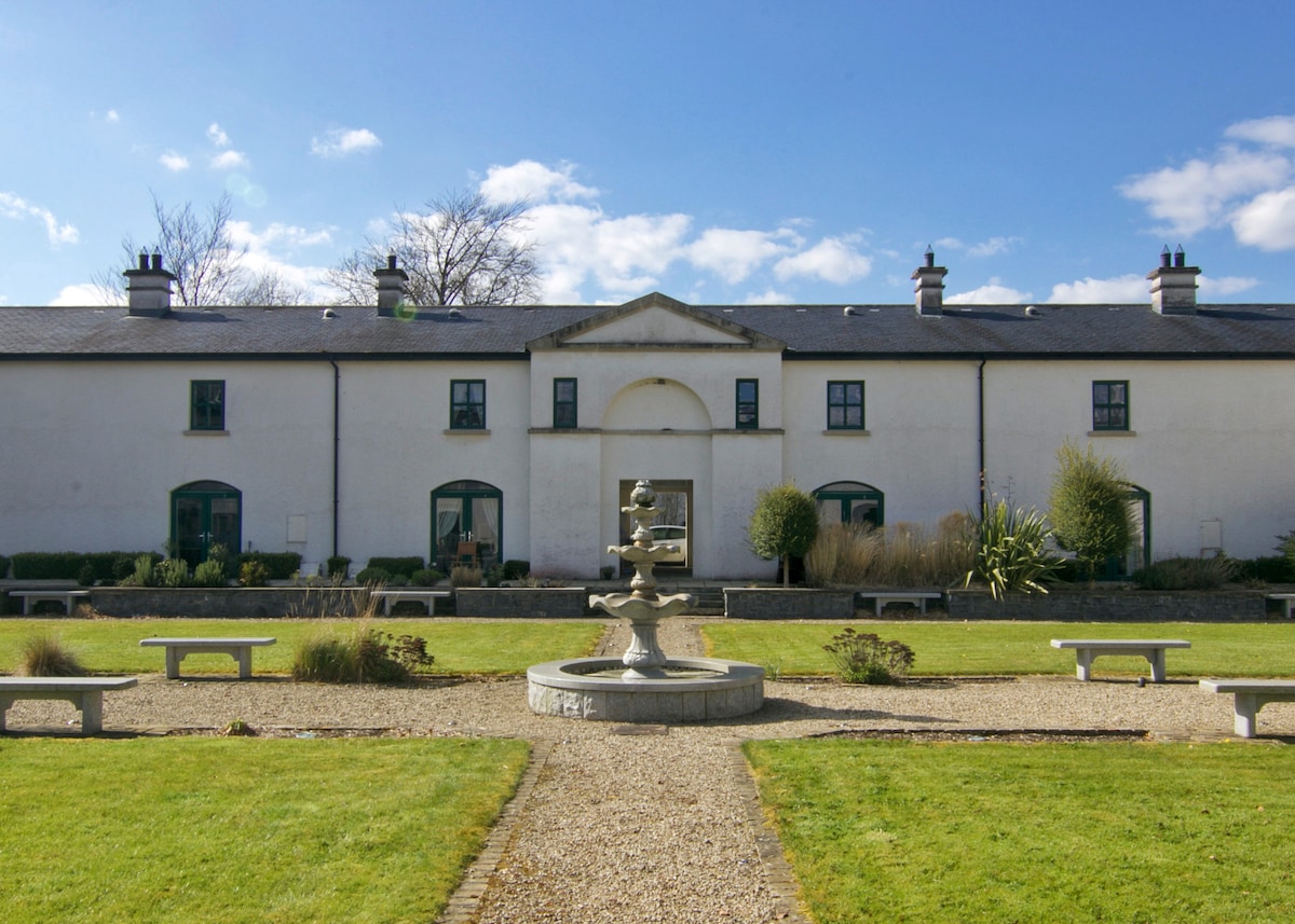 ENCLOSURE in DrumlongfieldENCLOSURE · 1.4 mi
 Grousehall ForestForest · 2.4 mi
 Drumharriff WoodForest recreation place · 2.5 mi
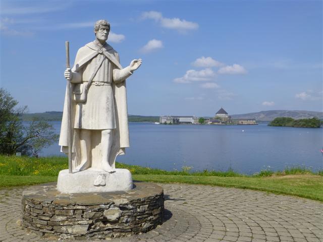 Patrick the PilgrimMemorial · 2.6 mi
 Boat IslandIsland · 2.6 mi
 Ash IslandIslet · 2.8 mi
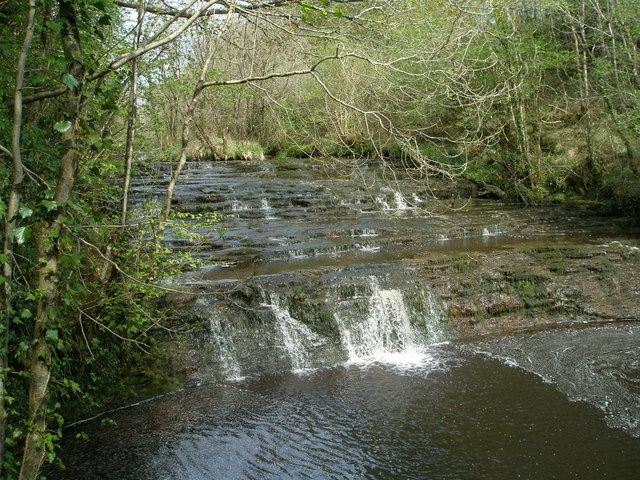 Drummoney WaterfallWaterfall · 3.5 mi
 Castle McGrathCastle · 3.5 mi
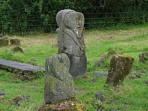 Boa IslandIsland · 4.5 mi