What is recorded here
No related material appeared during archaeological testing before new houses rose near the site, leaving the true age and users of the fort unknown. The earthwork still marks a small ridge in County Leitrim, with a grass-covered circle, a low scarp, and a faint southern dip that may have served as an entrance. People may have lived there, watched the land, or simply shaped the ridge for shelter. The fairies may have taken the story back when the houses arrived.
Located on top of a small E-W drumlin ridge. This is a grass-covered subcircular area (dims 35m E-W; 31.6m N-S) defined by a scarp (H 0.9m at S to 1.5m at N), with traces of a fosse (Wth of top 6m; D 0.1m) at E and a berm (Wth 3.5-5m) elsewhere. The original entrance is not identified, although there is a dip in the perimeter (Wth c. 8m) at S, and there is a shallow hollow (diam. 8-9m; D 0.3m) in the NE quadrant. New houses and their service road are c. 10m outside the perimeter of the monument E-S-SW, but archaeological testing (03E0148) prior to their construction produced no related material (Timoney 2006).
The above description is derived from 'The Archaeological Inventory of County Leitrim' compiled by Michael J. Moore (Dublin: Stationery Office, 2003). In certain instances the entries have been revised and updated in the light of recent research.
Date of upload: 23 September 2008
The monument record does not grant public access. Check the route and ask the landowner before entering private land.
- What survives
- Recorded monument
Places near here
 Dromahair Church (Drumlease)church/chapel · 69 yd
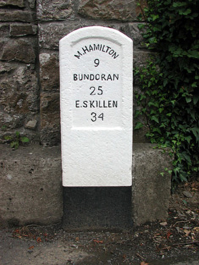 milestone/milepostmilestone/milepost · 132 yd
 IndicatedBawn · 318 yd
 Old HallCastle, hall-house · 381 yd
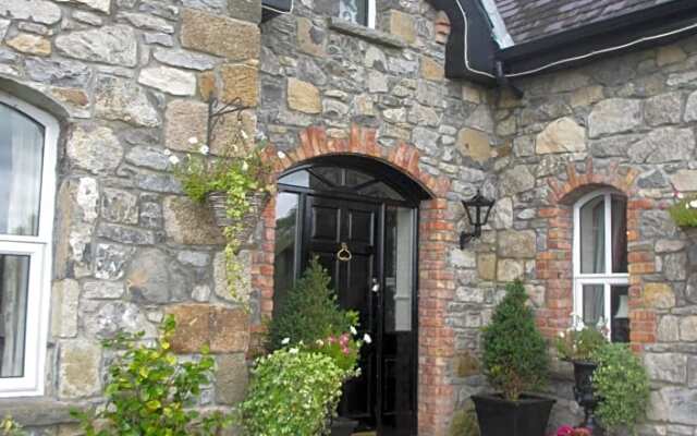 Enclosure in DrumleaseEnclosure · 815 yd
 Green IslandIslet · 1.9 mi
 Cullentra ForestForest · 2.0 mi
 Trawane BayBay · 2.6 mi
 InnisfreeIslet · 2.7 mi
 Parke's CastleHeritage attraction · 2.8 mi
 SlishwoodWood · 3.5 mi