What is recorded here
Fairy fort / earthen ringfort in Drum West is a fairy fort or earthen ringfort in Drum West, County Sligo, Ireland. It occupies the eastern position of two conjoined raths aligned east to west on a slight rise in gently undulating pasture. The structure contains a circular area measuring 18m in diameter and surrounds it with a broad, low earthen bank reaching 7.1m in width. Its interior slopes slightly toward the south-southeast while the western bank touches the external boundary of the neighbouring rath.
Situated on a slight rise, in gently undulating pasture, with good views in all directions. This is the easternmost of two conjoined raths (the other is SL008-144----) which abut each other on an E-W alignment. This rath consists of a slightly raised circular area (diam. 18m) enclosed by a broad, low earthen bank (Wth 7.1m; int. H 0.4m; ext. H 0.7m). The interior is slightly dished, and slopes down slightly to SSE. At W the enclosing bank abuts the external bank of the second rath (SL008-144----).
Compiled by: Jane O'Shaughnessy
Date of upload: 16 December 2016
is an earthen ringfort, likely dating to the early medieval period (c. 500–1000 AD), and is associated with local folklore referring to it as a "fairy fort," suggesting a traditional belief in its otherworldly or supernatural significance.
The monument record does not grant public access. Check the route and ask the landowner before entering private land.
- What survives
- Recorded monument
Places near here
 IndicatedFairy fort / earthen ringfort · 40 yd
 Wynnes FortFairy fort / earthen ringfort · 826 yd
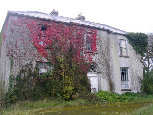 Doonally Househouse · 1.2 mi
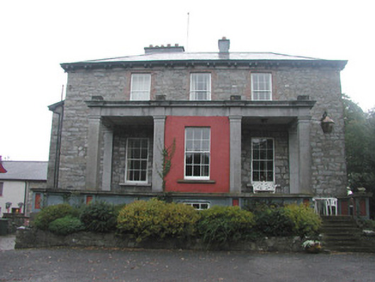 Mountshannon Housecountry house · 1.7 mi
 Drumcliff CemeteryGraveyard · 1.8 mi
 Grave of WB YeatsHeritage attraction · 1.8 mi
 Kings MountainMountain / peak · 2.2 mi
 European BeechEuropean Beech · 2.3 mi
 Copes MountainMountain / peak · 2.5 mi
 Castle (in Ruins)Castle, unclassified · 2.6 mi
 Glencar Lough ViewpointViewpoint · 3.4 mi
 Floods WoodForest · 3.4 mi