What is recorded here
Droughtville holds a fifty-metre earthen ring where grass still bends around a buried bank. The western edge keeps its sharp ditch while ploughing has smoothed the eastern side into ordinary ground. People may have lived inside that circle before fields consumed the shape, but the land has already forgotten half the answer.
Situated in grassland with good views in all directions. Possible ringfort (approx. int. diam. 50m) visible on Digital Globe aerial photograph as a circular-shaped area defined by an earthen bank with external fosse best preserved at SW. On Google Earth imagery dating from 2017 indicates that the E side of the monument has been levelled possibly as a result of ploughing. Cultivation ridges running E-W across the interior of the monument are visible on Digital Globe aerial photograph.
Compiled by: Caimin O'Brien based on details kindly provided by Faith Bailey
Date of upload: 3 August 2018
The monument record does not grant public access. Check the route and ask the landowner before entering private land.
- What survives
- Recorded monument
Places near here
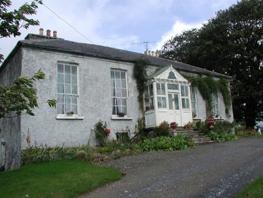 Heath Lodgehouse · 293 yd
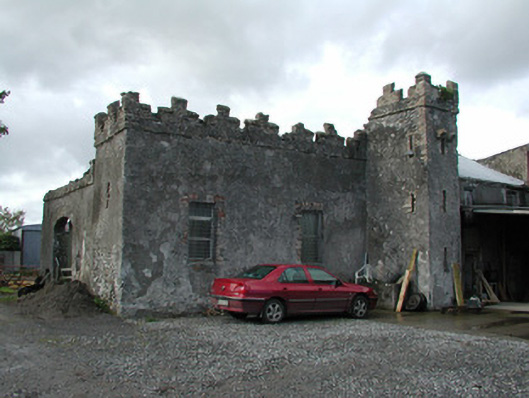 Cloganmore Housefarm house · 984 yd
 Enclosure in PassEnclosure · 1016 yd
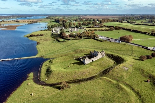 Mound in DroughtvilleMound · 1032 yd
 CastleCastle, tower house · 1290 yd
 Bawn in Annaghmore AND AnnaghbegBawn · 1299 yd
 Knockbarron WoodForest · 1.1 mi
 Derrykeel WoodWood · 2.3 mi
 Waypoint 1Visitor information · 2.7 mi
 Slieve Bloom Mountain Bike TrailVisitor information · 2.8 mi
 Saint Dominick's WellSpring · 2.9 mi
 Kinnitty Castle LoopWalking route · 3.2 mi