What is recorded here
Situated on slight rise in low-lying area E of the River Barrow. A dished area (max. diam. c. 30m N-S) surrounded by a possible degraded bank, most pronounced at S, defines the site. The N side is cut into the natural rise. Visible on aerial photo (CUCAP, BDL 3), possibly a ringfort.
The above description is derived from the published 'Archaeological Inventory of County Laois' (Dublin Stationery Office, 1995) compiled by P. David Sweetman, Olive Alcock and Bernie Moran. In certain instances the entries have been revised and updated in the light of recent research.
Date of upload: 17 December 2007
The monument record does not grant public access. Check the route and ask the landowner before entering private land.
- What survives
- Recorded monument
Places near here
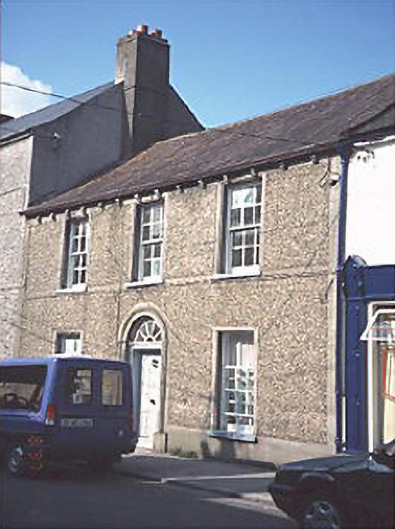 Kenny HouseOfficially recorded historic building · 434 yd
 milestone/milepostmilestone/milepost · 438 yd
 CastleCastle, motte and bailey · 819 yd
 Bog Lake WalkWalking route · 1661 yd
 Bog Oak WalkWalking route · 1.1 mi
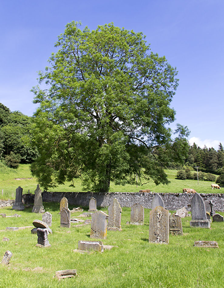 Burial ground in DerryvillaBurial ground · 1.2 mi
 Enclosure in DerryvillaEnclosure · 1.2 mi
 Lea Castle (in ruins)Castle, Anglo-Norman masonry castle · 1.5 mi
 Church (in Ruins), GraveyardChurch · 1.6 mi
 Derryounce Lakes & TrailsNature reserve · 1.7 mi
 Wych ElmWych Elm · 3.0 mi
 Spa WellSpring · 3.4 mi