What is recorded here
Fairy fort in Dromturk: a 30m circular earth-and-stone ring, partly overgrown, beside Newcastle West golf course in County Limerick. People may have lived, hid or marked territory there before the course came; the fairies, according to local story, kept what was left behind. The bank still stands higher on one side, as if the ground remembered the shape of hands that built it.
In grounds of Newcastle West golf course, on slight W-facing slope and immediately below brow of hill. Circular area (30m E-W) enclosed by earth-and-stone bank, densely overgrown with bushes and trees. Bank is best preserved (int. H 1m; ext. H 0.45m) N->S, but lowers S->N (int. H 0.45m; ext. H 0.75m). Interior, covered with dense overgrowth, slopes gently down to W. A strip of uncut grass (Wth c. 12m) separates site from mown area of golf course. Field boundaries, indicated on 1923 OS 6-inch map abutting site at NW and E, have been removed.
Compiled by: Denis Power
Date of upload: 26 August 2011
The monument record does not grant public access. Check the route and ask the landowner before entering private land.
- What survives
- Recorded monument
Places near here
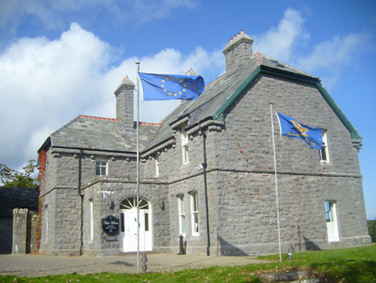 Rathgoonan Housecountry house · 575 yd
 IndicatedFairy fort / earthen ringfort · 588 yd
 Mound in Ballyegny BegMound · 703 yd
 Ballyegny Househouse · 784 yd
 Castle (in ruins)Castle, tower house · 1375 yd
 St. Luke's WellSpring · 1714 yd
 CahermoyleCastle, unclassified · 1.2 mi
 St. Kieran's WellSpring · 1.6 mi
 European ashEuropean ash · 4.3 mi
 Limerick GreenwayWalking route · 6.3 mi
 Gammarel PointHeadland · 7.0 mi
 Monterey CypressMonterey Cypress · 7.3 mi