What is recorded here
No. Of two rings, one is broken, one unbroken. The unbroken ring stands complete on its crest while the broken ring lies buried beneath fields and memory. Dromree is not a lost place, but a divided place. Half its life is visible, half hidden. To know Dromree is to stop wanting the whole story and learn the shape of the missing part.
In pasture, on crest of SSE-facing slope. Circular area (30m N-S; 29.7m E-W) defined by earthen bank (H 2.4m). Stones in external bank face to S. Bank incorporated into surrounding field fence system to N and E; stone-faced internally and externally to N. Break (Wth 8m) in bank to SE; blocked by stone-faced earthen fence, which at E end runs at right angles into field boundary, extending SE from enclosure. Interior slopes gently down to SE; heavily overgrown.
The above description is derived from the published 'Archaeological Inventory of County Cork. Volume 3: Mid Cork' (Dublin: Stationery Office, 1997). In certain instances the entries have been revised and updated in the light of recent research.
Date of upload/revision: 14 January 2009
The monument record does not grant public access. Check the route and ask the landowner before entering private land.
- What survives
- Recorded monument
Places near here
 kilnkiln · 706 yd
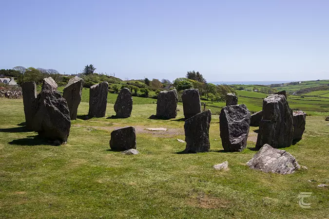 Stone CircleField boundary · 1085 yd
 Neill's WoodWood · 1475 yd
 Hanover Hall Bridgebridge · 1663 yd
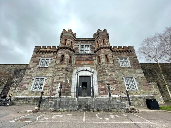 Enclosure in Kill (muskerry West By.)Enclosure · 1.2 mi
 Clonavrick CliffCliff · 1.3 mi
 Macroom WalksVisitor information · 1.9 mi
 Macroom Castle (in Ruins)Castle, tower house · 1.9 mi
 Battle of Macroombattle · 2.0 mi
 Ummera WoodWood · 2.3 mi
 BurrenMountain / peak · 2.9 mi
 Carrigaphooca CastleCastle · 3.4 mi