What is recorded here
Fairy fort in Dromree, County Cork: a 28-metre earthen ring on a gentle south-facing pasture slope, with a two-metre eastern entrance, outer ditch, scattered stones at the bank’s base, and old cultivation ridges crossing the middle. It is the kind of place people once called fairy because it refused to explain itself like an ordinary farmfield. Maybe a family lived there, tended the ridge-furrows, and vanished from memory while the bank kept its shape.
In pasture, on gentle S-facing slope. Roughly circular area (28m E-W) enclosed by earthen bank (int. H 0.7m) NE->NW; stone field boundary NW->NE; external fosse (D 0.8m) SSE->WSW. Entrance (Wth 2m) to E. Loose stones scattered across site are concentrated mainly around base of bank. Remains of cultivation ridges cross interior on NW-SE axis.
The above description is derived from the published 'Archaeological Inventory of County Cork. Volume 3: Mid Cork' (Dublin: Stationery Office, 1997). In certain instances the entries have been revised and updated in the light of recent research.
Date of upload/revision: 14 January 2009
The monument record does not grant public access. Check the route and ask the landowner before entering private land.
- What survives
- Recorded monument
Places near here
 kilnkiln · 1086 yd
 Neill's WoodWood · 1097 yd
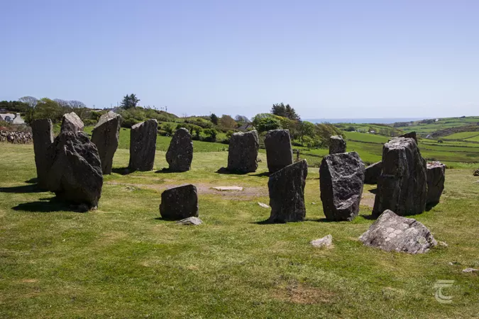 Stone CircleField boundary · 1491 yd
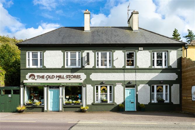 Old MillMill, unclassified · 1.2 mi
 Man-made underground passage (Site of)Man-made underground passage · 1.4 mi
 Clonavrick CliffCliff · 1.4 mi
 Macroom WalksVisitor information · 1.9 mi
 Macroom Castle (in Ruins)Castle, tower house · 1.9 mi
 Battle of Macroombattle · 2.0 mi
 Ummera WoodWood · 2.5 mi
 BurrenMountain / peak · 3.1 mi
 Carrigaphooca CastleCastle · 3.1 mi