What is recorded here
Five-sixths vanished before 1966, leaving a shallow thirty-four metre disc where a tall ring stood. The remaining tenth still bumps the grass on a south-west slope, guarding a hidden passage beneath the pasture.
In pasture, on gentle SSW-facing slope. Depicted as hachured circular enclosure on 1842 OS 6-inch map; interior (diam. c. 42m) defined as hachured scarp N->SSW and by broken line elsewhere on 1938 OS 6-inch map, with outer bank hachured W->S. Levelled; circular area (34m N-S; 34m E-W) defined by low rise (ext. H 0.5m) survives, with faint trace of fosse as external depression; no visible surface trace of outer bank shown on 1938 OS 6-inch map. Recorded by Bowman (1934, 605-6) as single-ramparted fort (diam. c. 31yd) on C. O'Flynn's land, with 'about five-sixths of circuit levelled'. According to local information, remainder levelled c. 1966. Man-made underground passage (CO041-07802-) in interior.
The above description is derived from the published 'Archaeological Inventory of County Cork. Volume 4: North Cork' (Dublin: Stationery Office, 2000). In certain instances the entries have been revised and updated in the light of recent research.
Date of upload/revision: 14 January 2009
The monument record does not grant public access. Check the route and ask the landowner before entering private land.
- What survives
- Recorded monument
Places near here
 Man-made underground passage in Dromore SouthMan-made underground passage · 1 yd
 LisnagilkyFairy fort / earthen ringfort · 345 yd
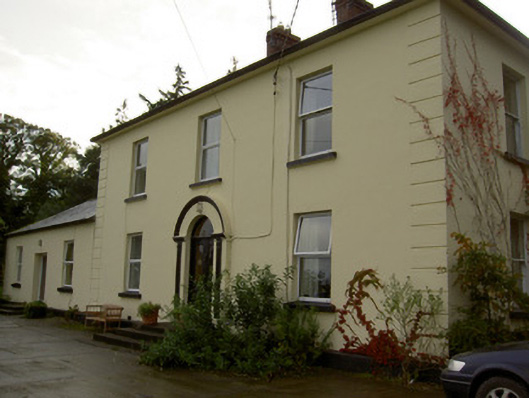 Dromore Househouse · 1688 yd
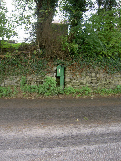 post boxpost box · 1.3 mi
 Castle Barrett (in Ruins)Castle, Anglo-Norman masonry castle · 1.6 mi
 Castle BarrettCastle · 1.6 mi
 Blackwater WayWalking route · 2.8 mi
 Mallow River TrailVisitor information · 3.3 mi
 In loving memory of Elvis O'DonoghueMemorial · 3.3 mi
 Dromaneen CastleHeritage attraction · 3.6 mi
 Lyradane MountainMountain / peak · 4.2 mi
 Bweeng LittleMountain / peak · 4.5 mi