What is recorded here
Magic and myth are not the same. That is the first lesson Dromore East teaches. A ringfort is a human act of imagination made visible. A circle drawn in earth, a door left open, a life risked and remembered. Fantasy begins there. The fairy fort is not a joke or a childish mistake. It is a warning about imagination itself. When a place becomes sacred through story, it stops belonging to the person who first shaped it. It becomes a vessel. That is why Dromore East still feels occupied. Not by deception, but by transformation. The human hand built the form. The story completed it.
Situated just W of a rise on the W-facing spine of a NE-SW drumlin ridge. This is a circular grass and rush-covered area (diam. 37m WNW-ESE; 37m NNE-SSW) defined by an earthen bank that is largely reduced to a scarp (at SW: H 2.1m) and hedge NNE-S-NNW, with an outer, flat-bottomed fosse (at SW: Wth of top 2.4m; Wth of base 1.4m; ext. D 0.4m) NNE-S-WSW that is traceable as a slight dip WSW-NNW. The perimeter is reduced to a broad low scarp NNW-NNE. The original entrance (Wth of base 2.6m) and causeway (Wth of top 3.1m; H 0.5m) are at SE. Rath (MO018-023----) is c. 150m to the E, and the perimeter had been removed SW-N by 1995 (OSAP). Archaeological testing (01E0862) c. 60-130m SW-N of this rath produced no related material (McCarhty 2006).
The above description is derived from the published 'Archaeological Inventory of County Monaghan' (Dublin: Stationery Office, 1986). In certain instances the entries have been revised and updated in the light of recent research.
Revised by: Michael Moore
Date of revision: 18 June 2018
Amended: 13 January 2020
The monument record does not grant public access. Check the route and ask the landowner before entering private land.
- What survives
- Recorded monument
Places near here
 W. Sloanhouse · 236 yd
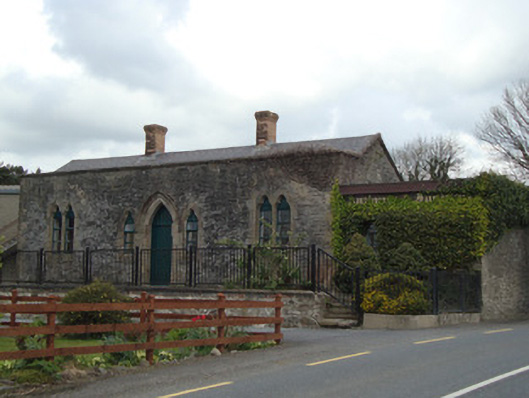 Monaghan Road Railway Stationrailway station · 704 yd
 IndicatedFairy fort / earthen ringfort · 1420 yd
 Carrick an AffrinMass-rock · 1504 yd
 LisnaspeenanMountain / peak · 3.0 mi
 Fedd HillMountain / peak · 3.5 mi
 Ballybay Wetland CentreNature reserve · 3.7 mi
 Rabbitburrow WoodWood · 4.1 mi
 Rossmore MausoleumHeritage attraction · 4.9 mi
 Roosky Castle (Site of)Castle, ringwork · 5.4 mi
 Senator Billy Fox 1939 - 1974Memorial · 8.1 mi
 Gull IslandIslet · 11 mi