What is recorded here
Fairy fort in Dromina is a circular earthen ringfort on a SW-facing slope in County Cork, Ireland. Two banks and ditches enclose a muddy, cattle-marked space beside a stream, with the outer bank standing tallest to the north and east. Cattle have worn the inner bank and filled parts of the ditches, yet the shape still reads as a made place rather than a natural bump.
In pasture, on SW-facing slope. Circular area (29.9m E-W) enclosed by two earthen banks SSW->ESE with intervening fosse and outer fosse; scarp elsewhere, beyond which land falls sharply down to stream bed. Inner bank (int. H 0.6m) very eroded by cattle. Intervening fosse substantial and flat bottomed (Wth 2.1m); partially infilled to E due to slippage from inner bank. Outer bank (H 1.75m to base of fosse) more impressive than inner bank, survives best to N and NE. Outer fosse (D 1.2m) infilled to ESE where feeding trough located. Break in inner bank (Wth 1.5m) and outer bank (H1.2m) to NNW. Interior surface muddy and pockmarked by cattle.
The above description is derived from the published 'Archaeological Inventory of County Cork. Volume 4: North Cork' (Dublin: Stationery Office, 2000). In certain instances the entries have been revised and updated in the light of recent research.
Date of upload/revision: 14 January 2009
The monument record does not grant public access. Check the route and ask the landowner before entering private land.
- What survives
- Recorded monument
Places near here
 Castlehill BridgeBridge · 436 yd
 Castle (Site of)Castle, unclassified · 491 yd
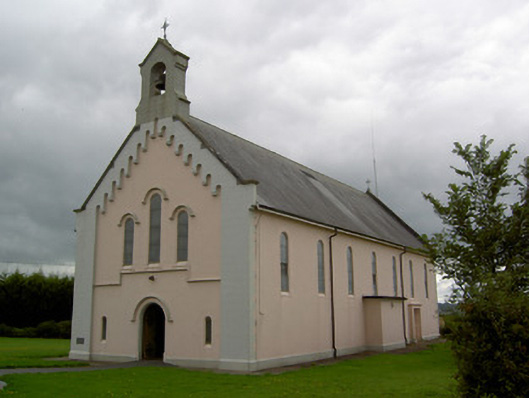 Saints Peter and Paul Churchchurch/chapel · 573 yd
 Fulacht fia in Killabraher NorthFulacht fia · 802 yd
 Church (Site of)Church · 1110 yd
 Windmill HillMountain / peak · 2.8 mi
 Castle (in Ruins)Castle, Anglo-Norman masonry castle · 3.1 mi
 Battle of LiscarrollMajor battlefield · 3.2 mi
 Ballyhoura WayWalking route · 4.1 mi
 Churchtown TrailsVisitor information · 4.7 mi
 National Co-op MuseumMuseum · 5.2 mi
 ToberacappeenSpring · 5.6 mi